Very silty water on Russel Lake. Less so on the northern end of Slemon Lake.
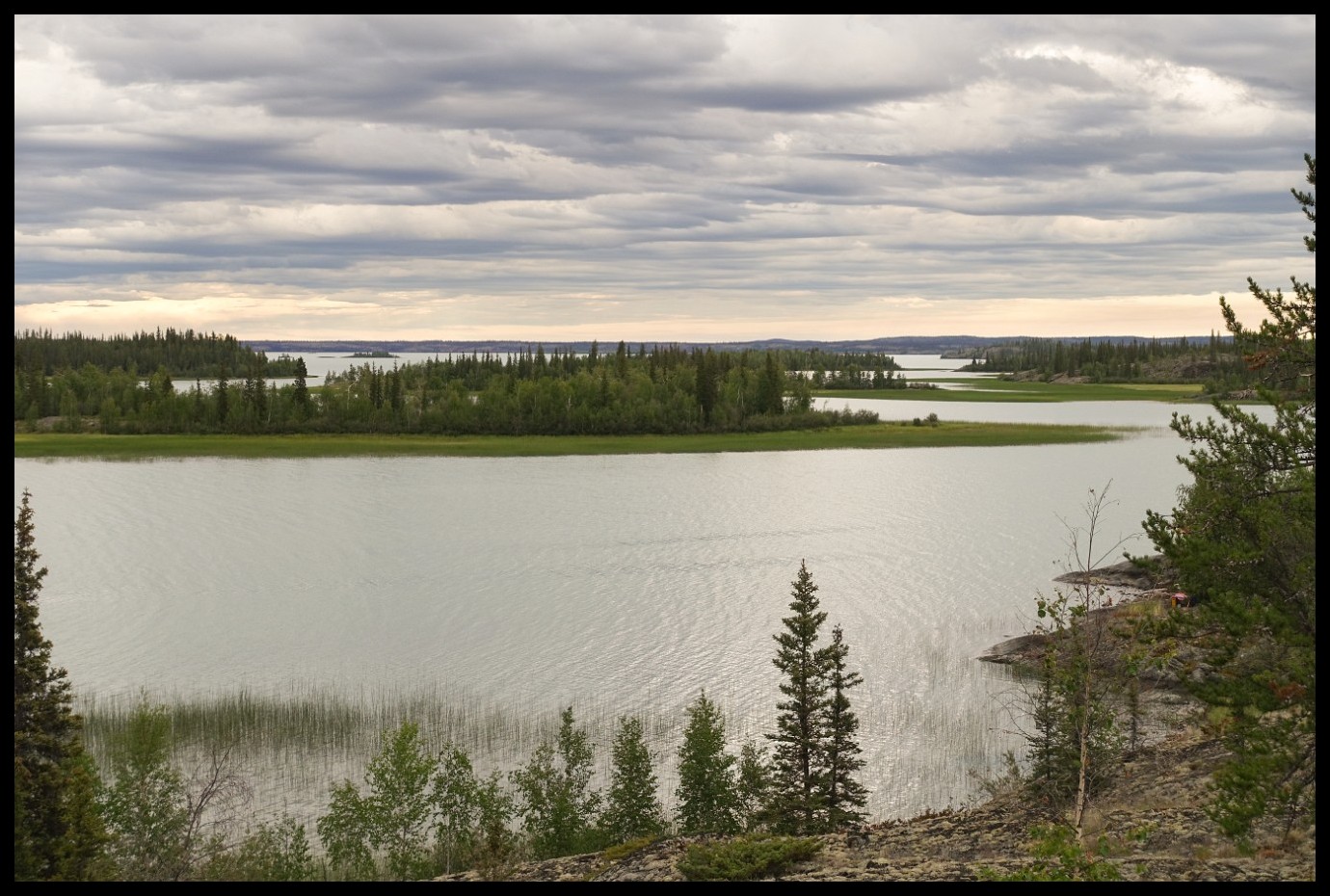
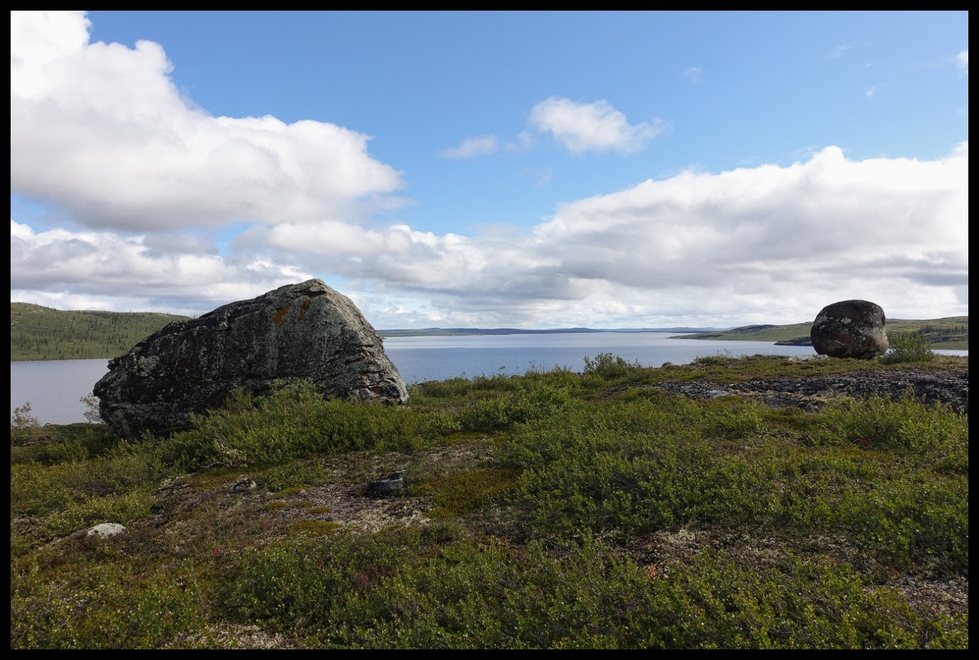
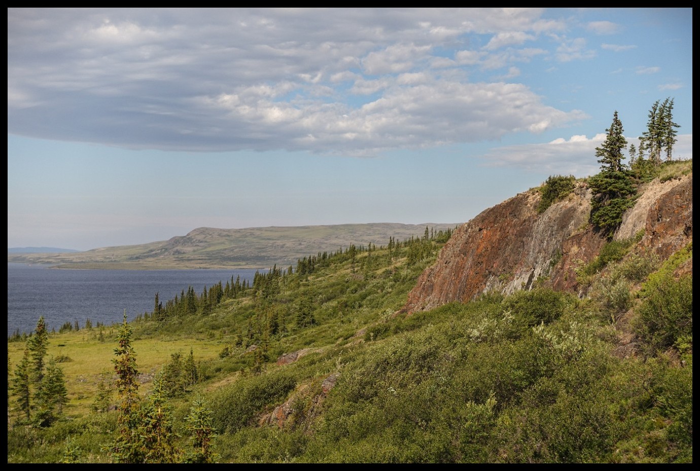
Shield country.
Where the heck is the portage trail?
Here
Some say that discretion is the better part of valour. Certainly a consoling thought after my retreat.
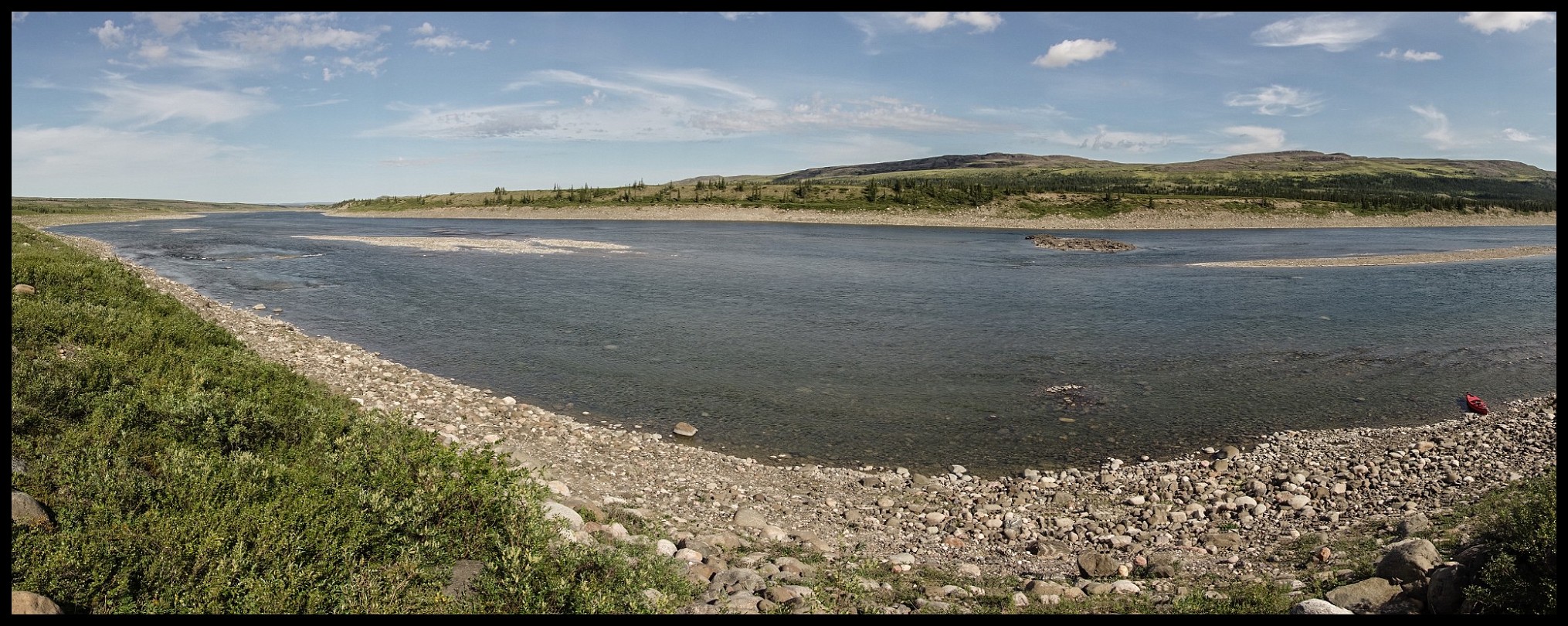
Canada’s maze of waterways.
About to land on Point Lake.
Peterson's Point Lake Lodge. Very nice people!
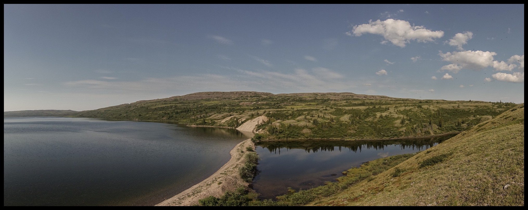
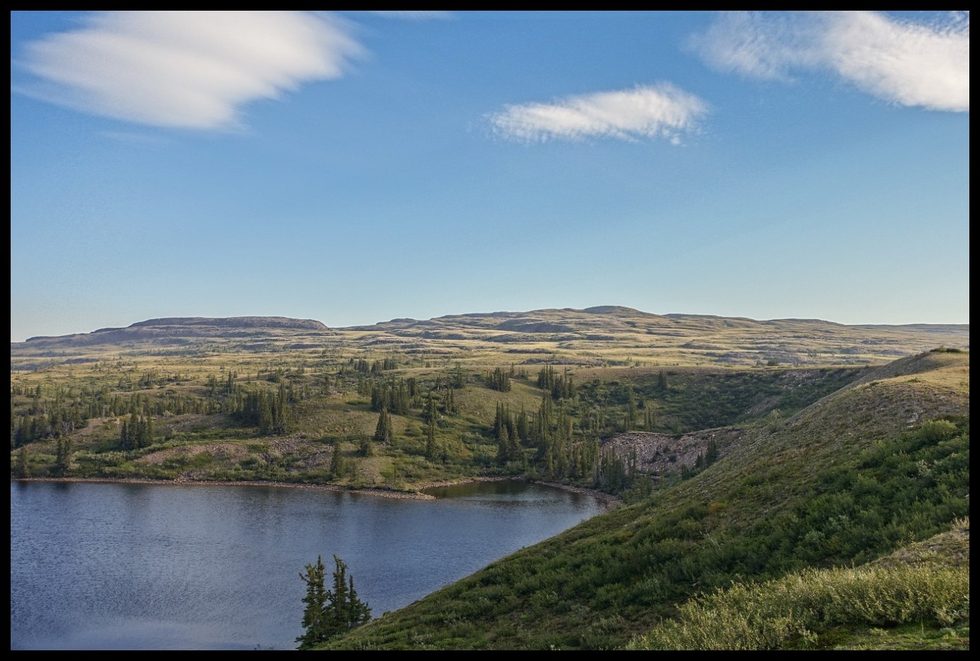
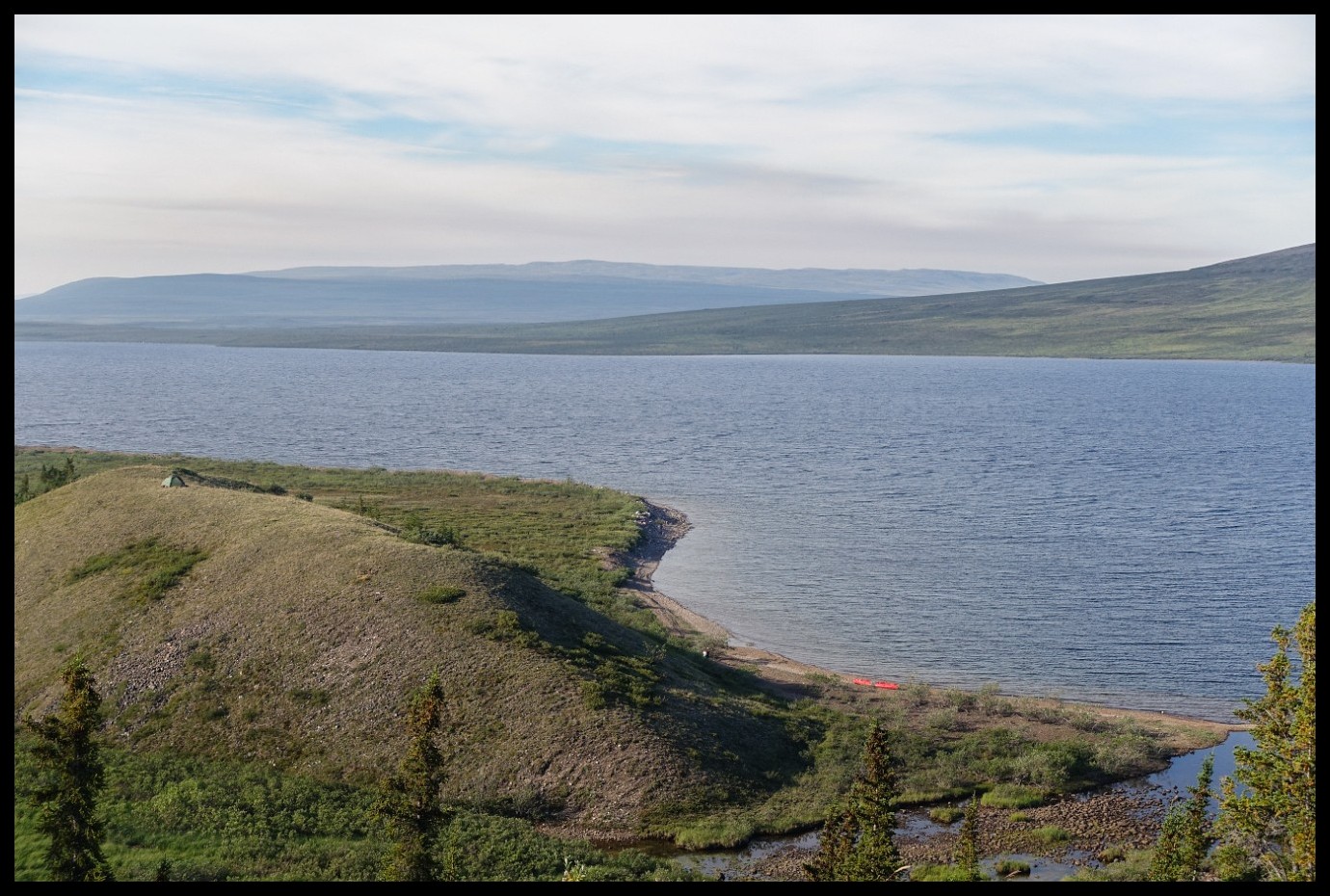
Point Lake entering into Red Rock Lake.
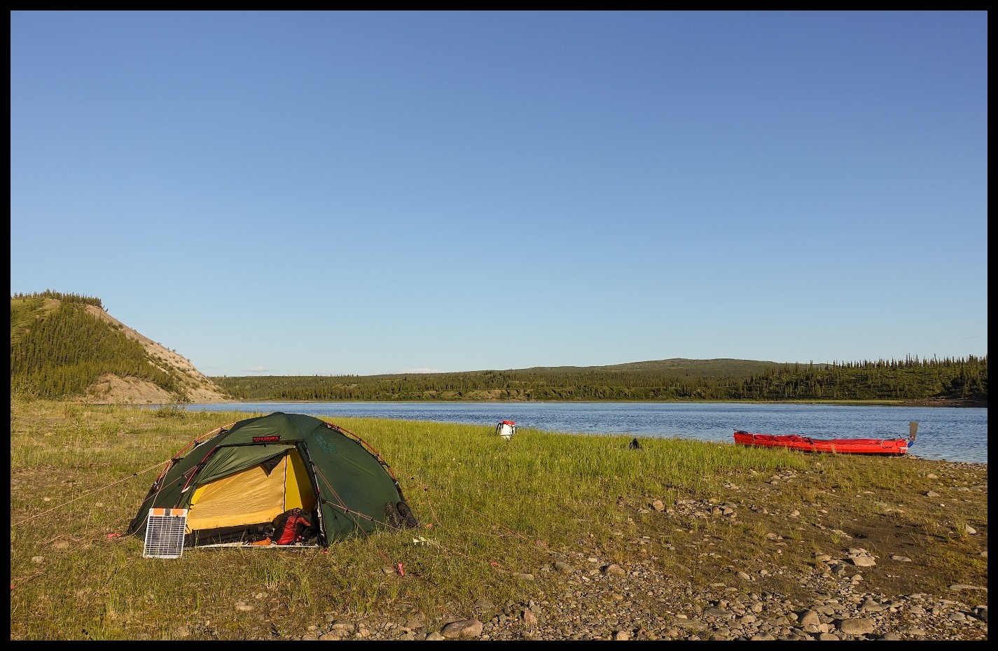
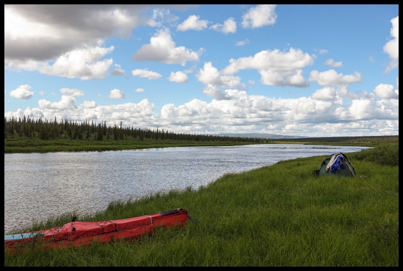
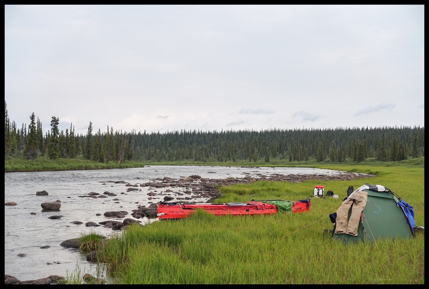
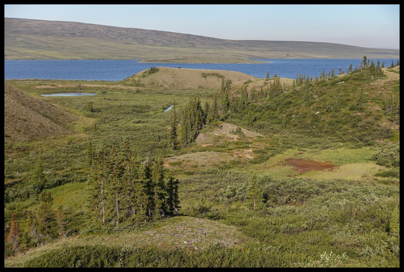
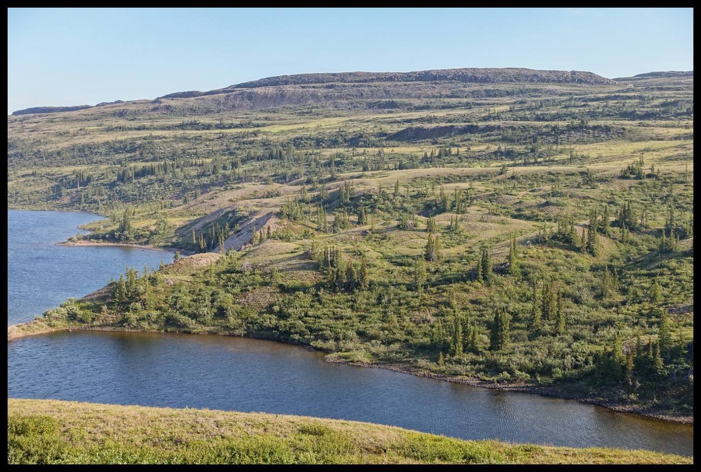
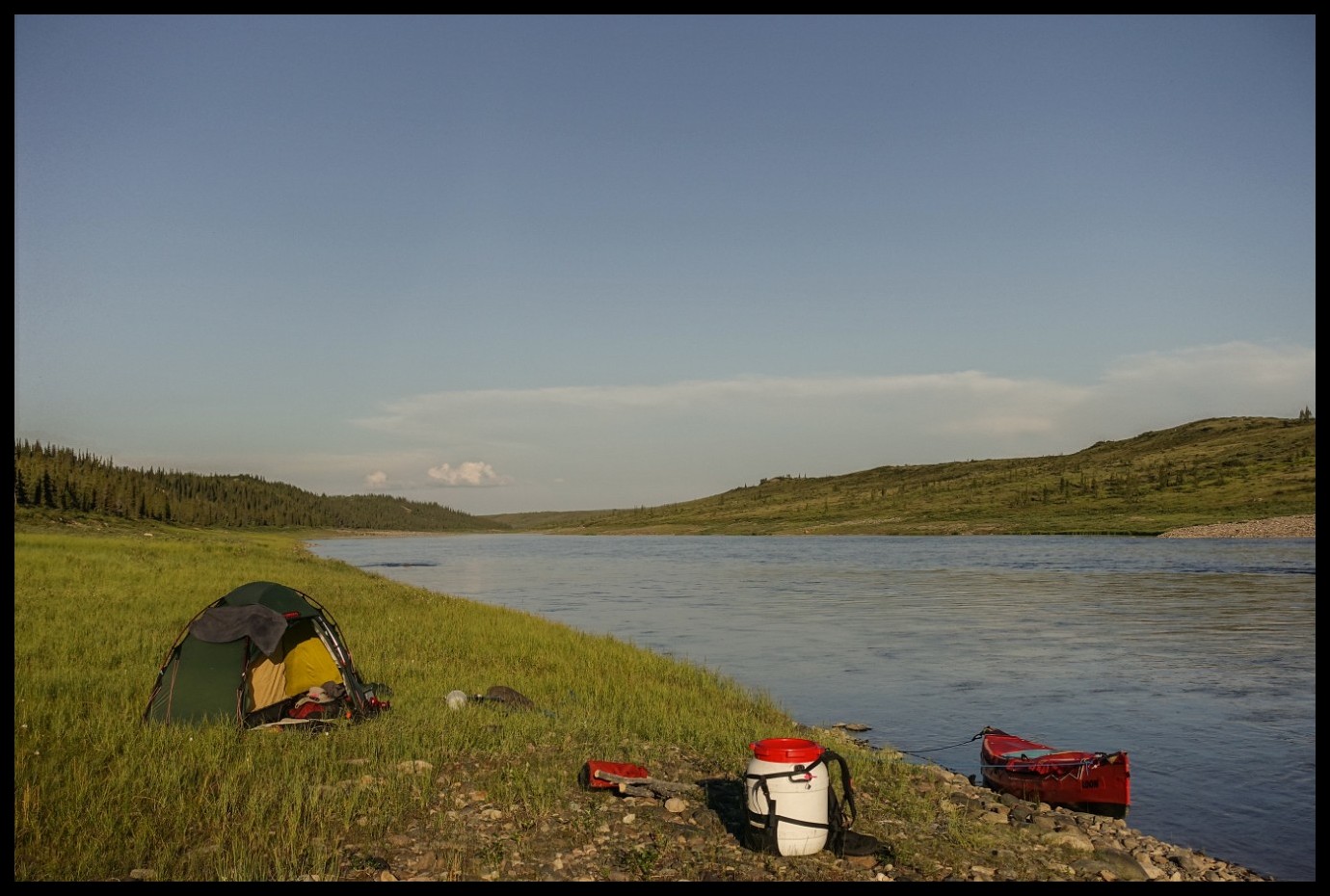
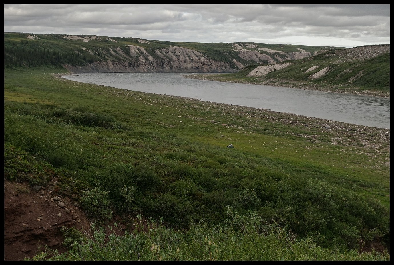
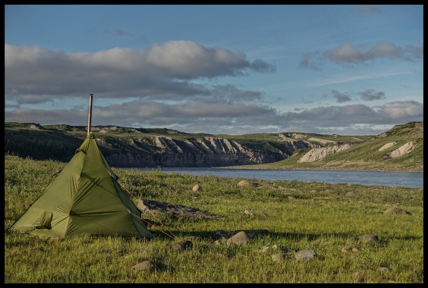
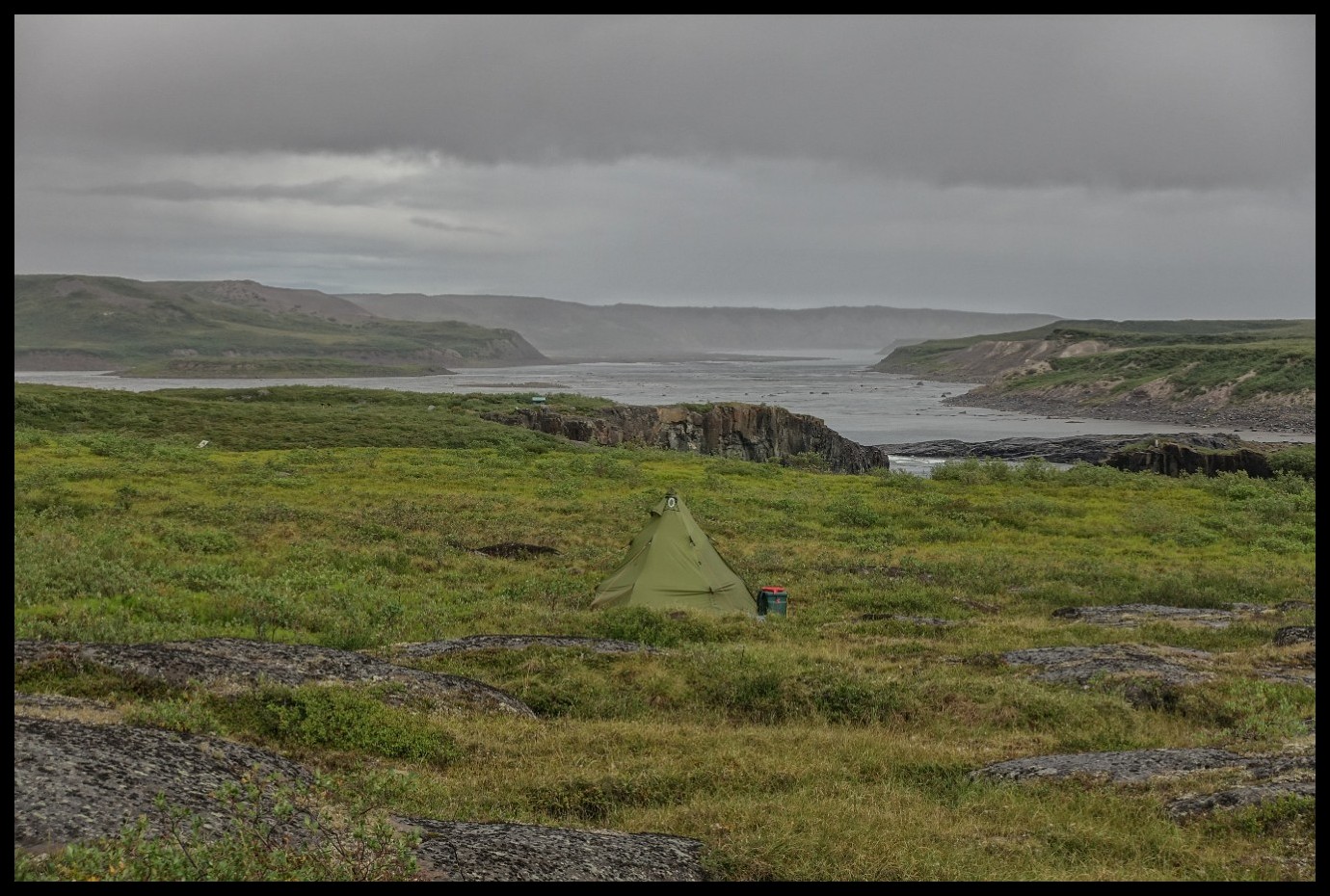
Not too many flat camp spots without any shrubs.
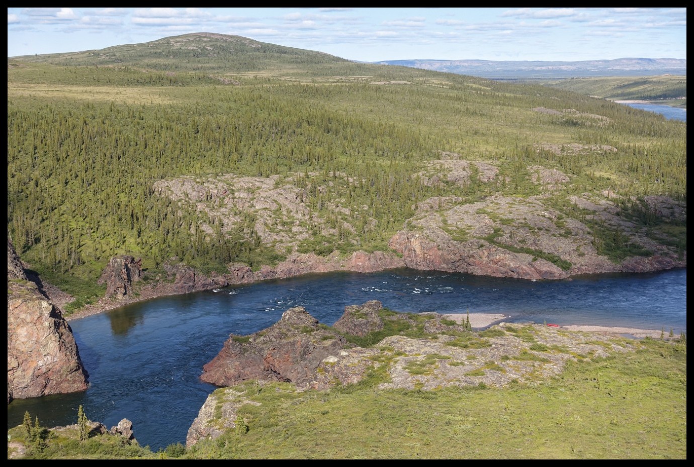
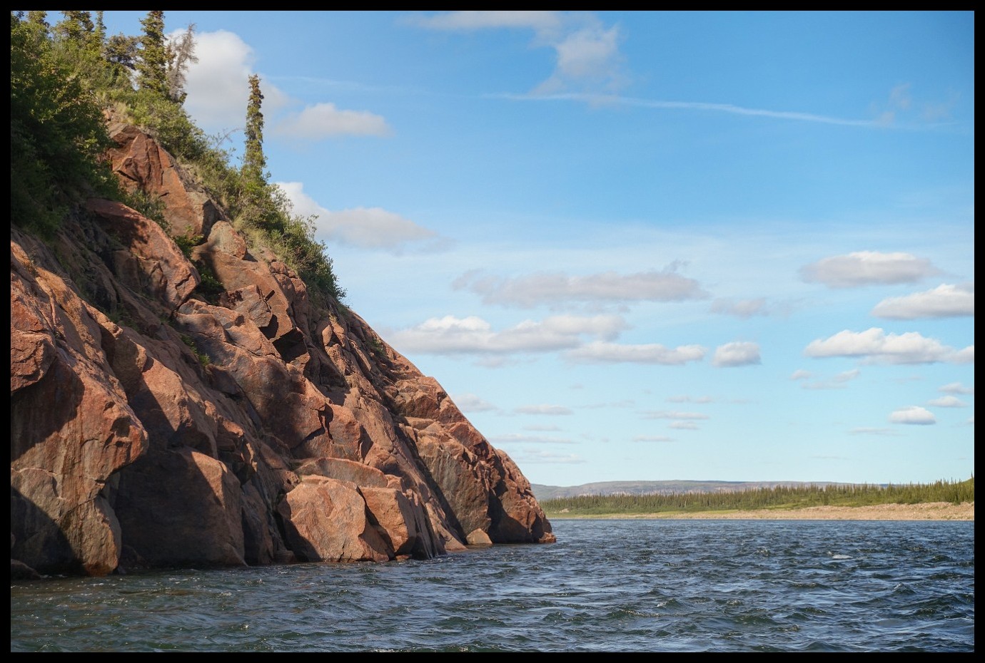
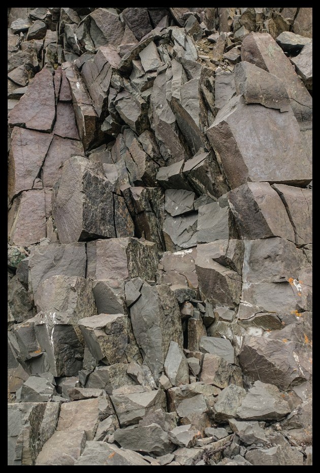
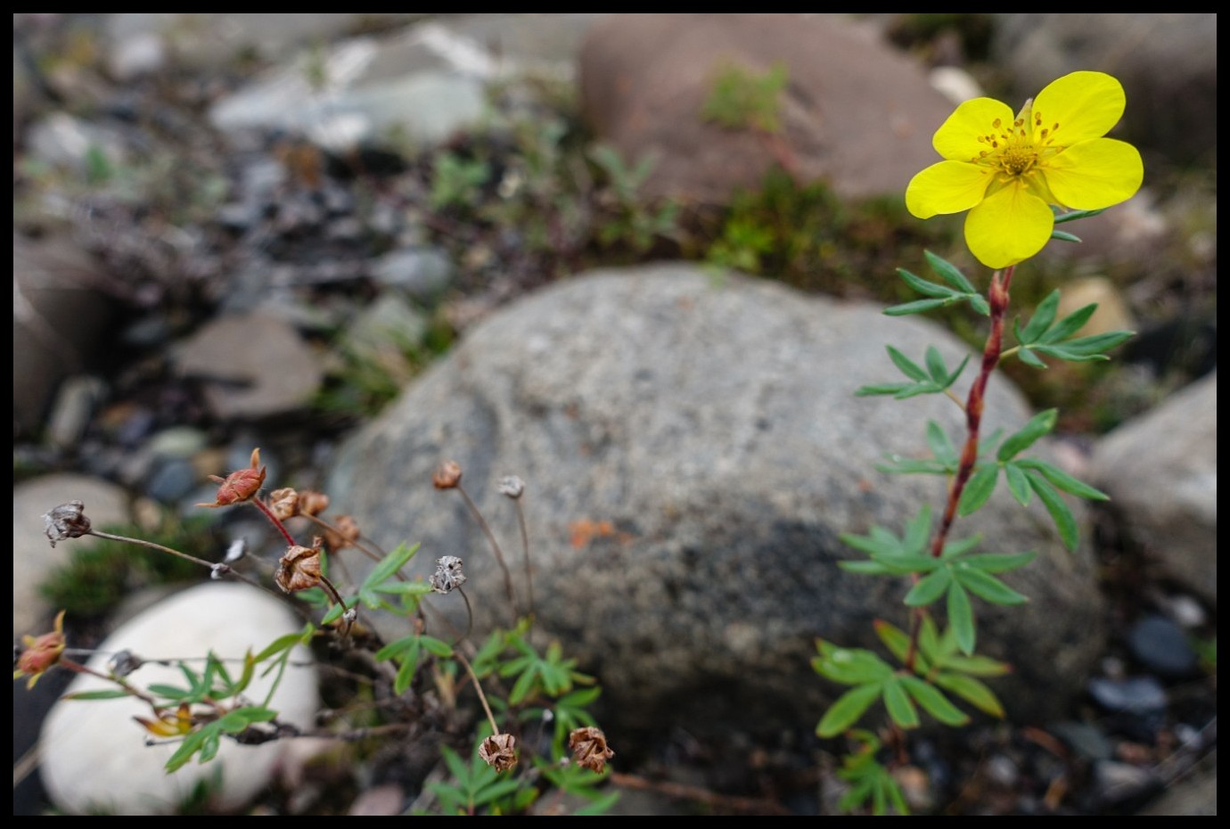
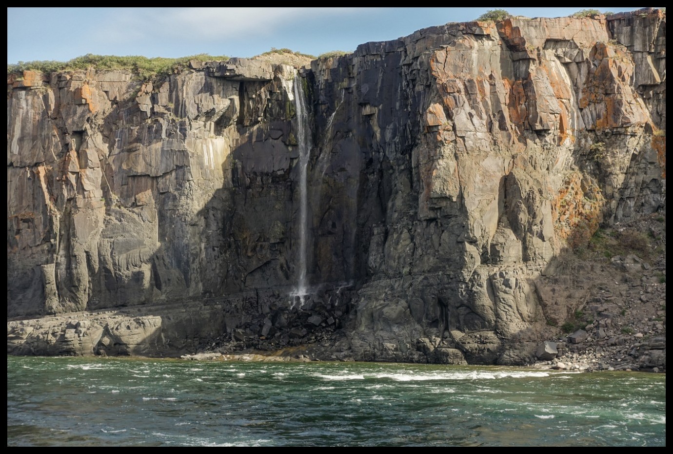
Red Rock of Red Rock Lake.
No fish into or onto my canoe.
Lake trout caught trailing a spoon.
Fast food - hard to beat!
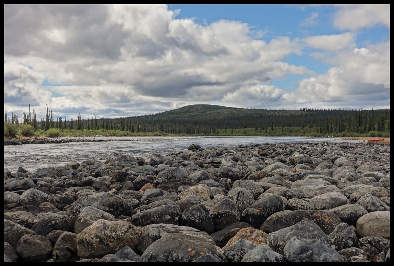
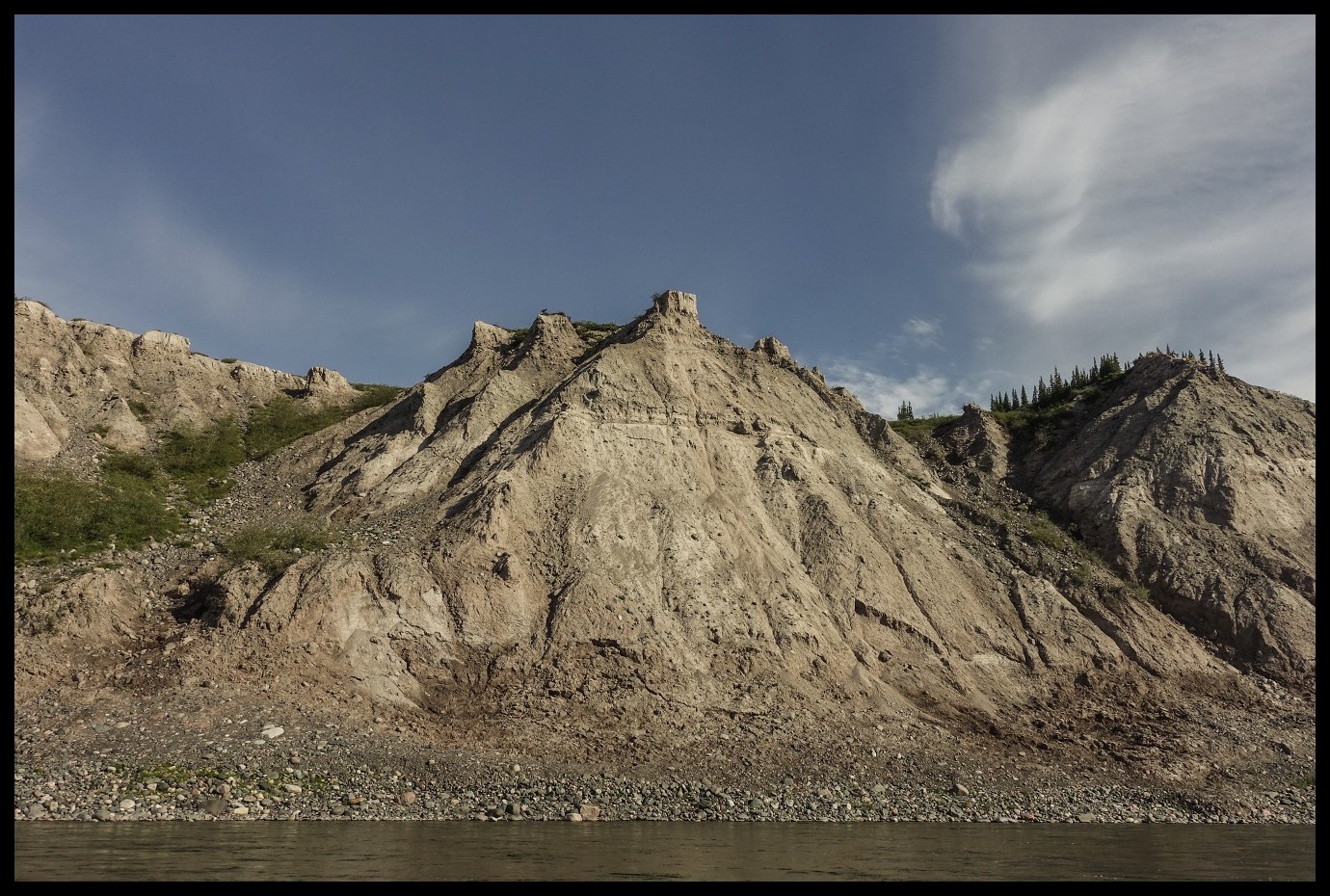
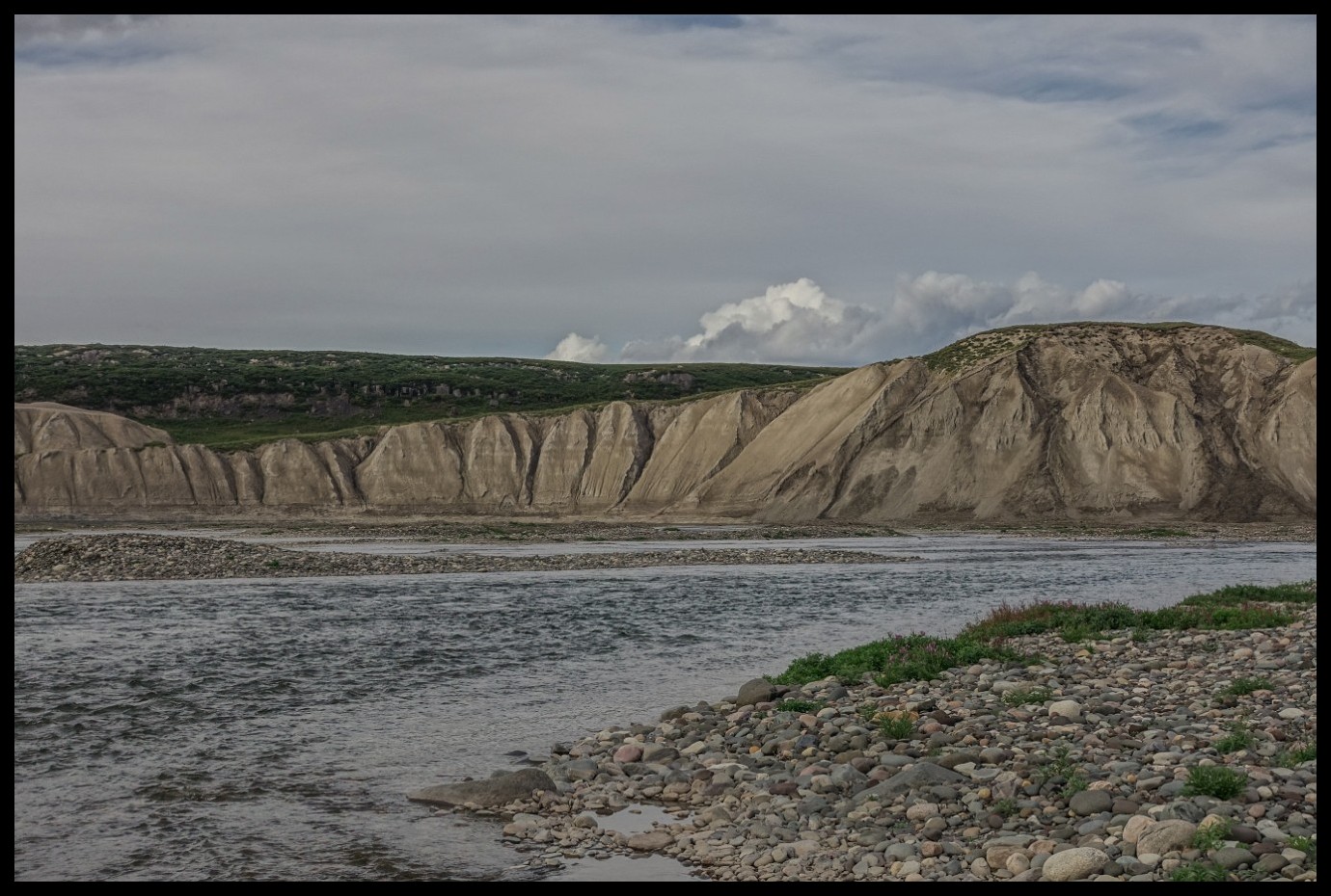
The first trouble on the Coppermine. This year with a low water level.
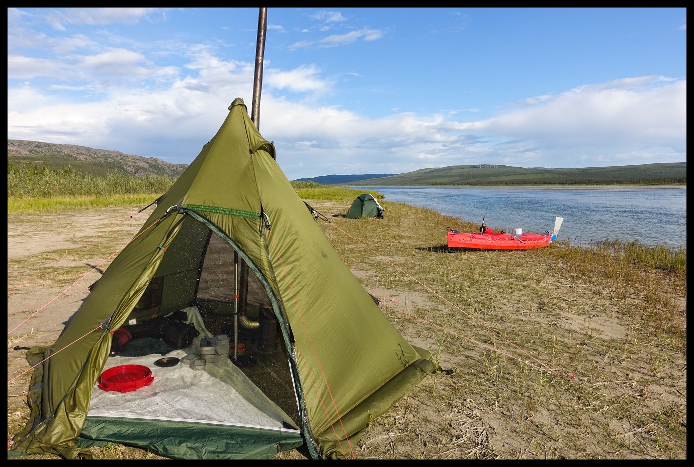
Island camp. I like the idea of bears having to swim to my tent. Hoping they may not want to. Likely a false believe but providing a good sleep.
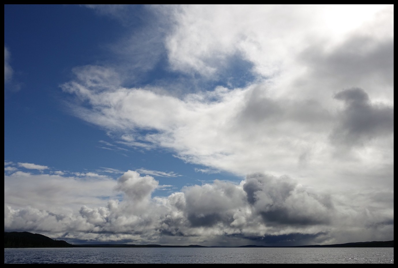
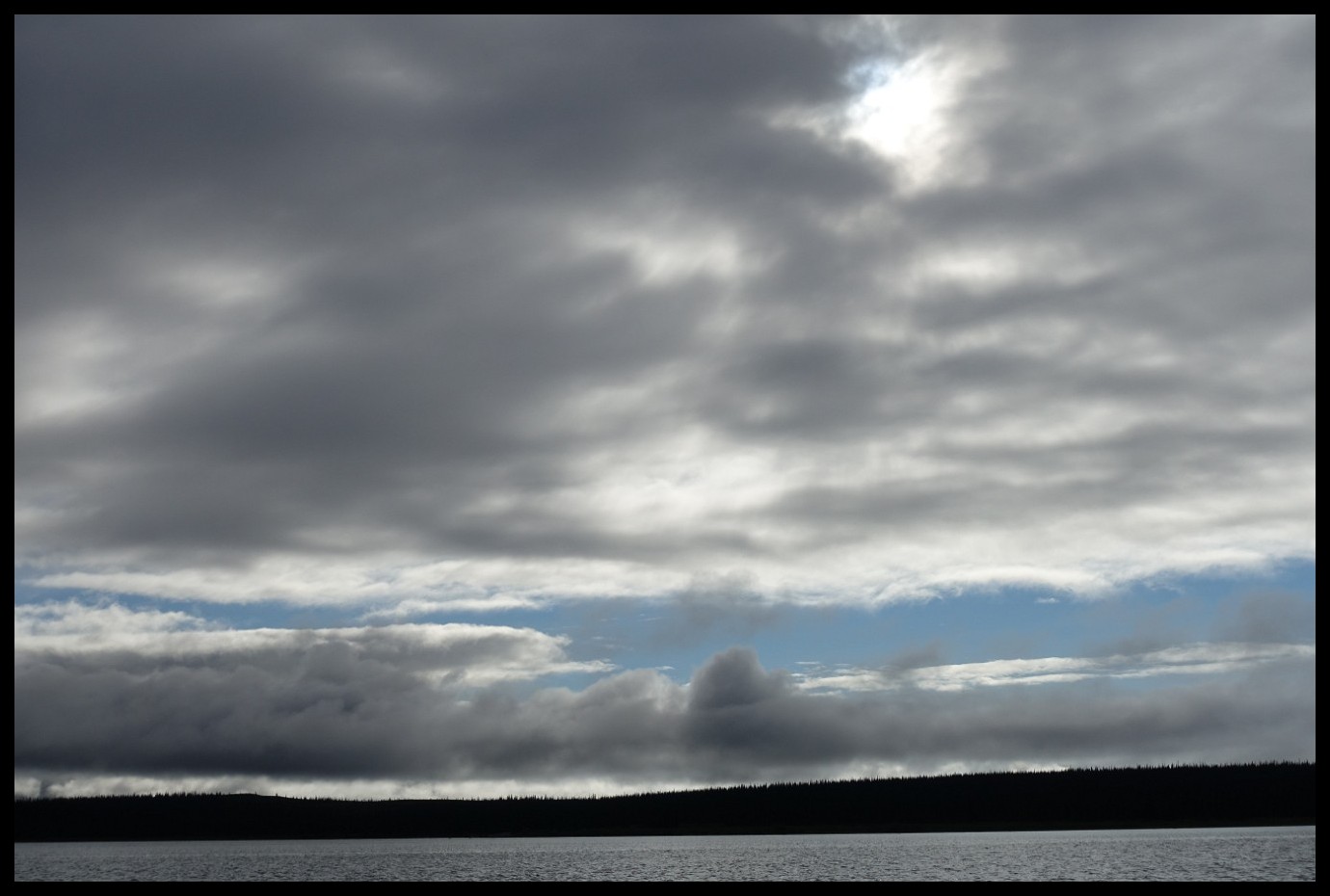
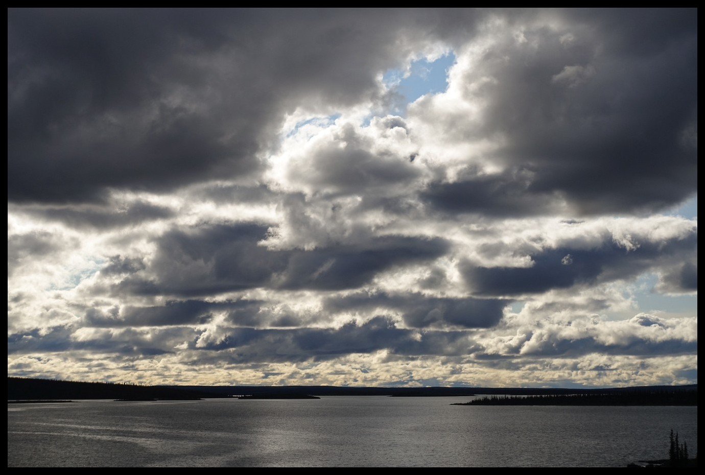
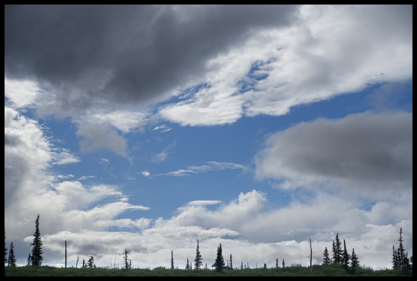
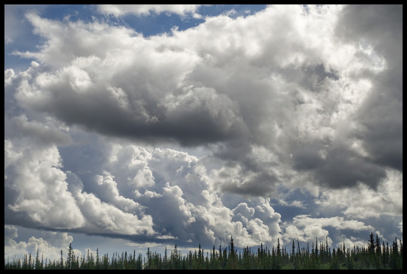
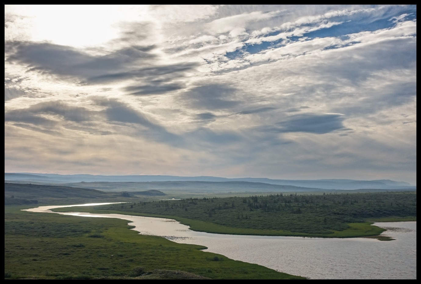
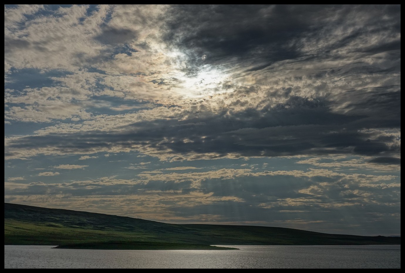
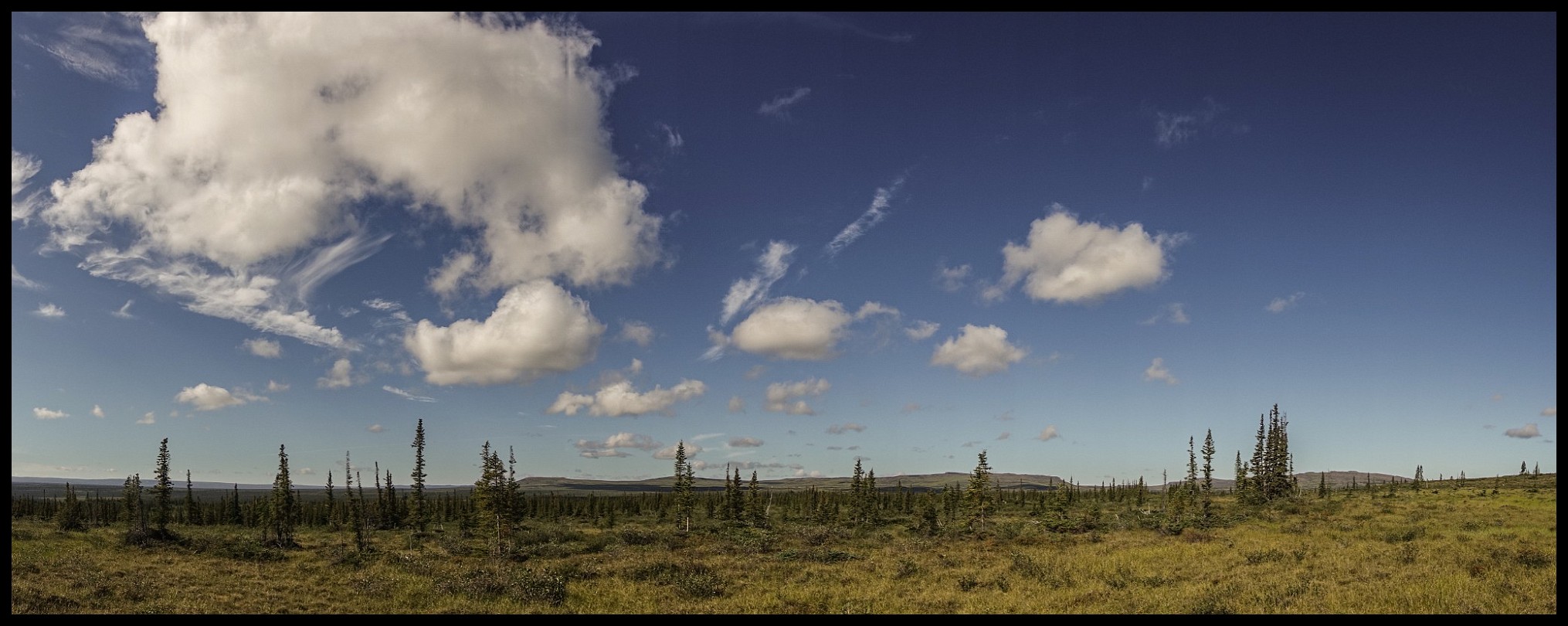
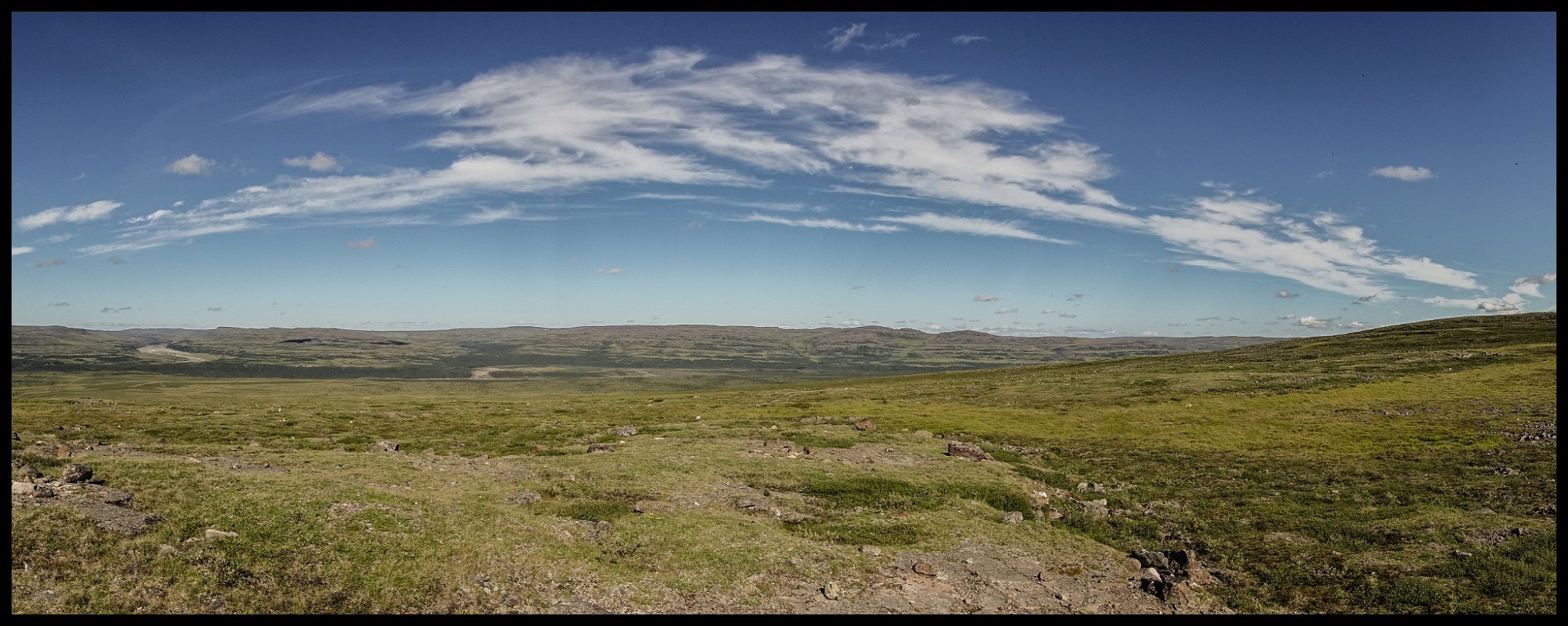
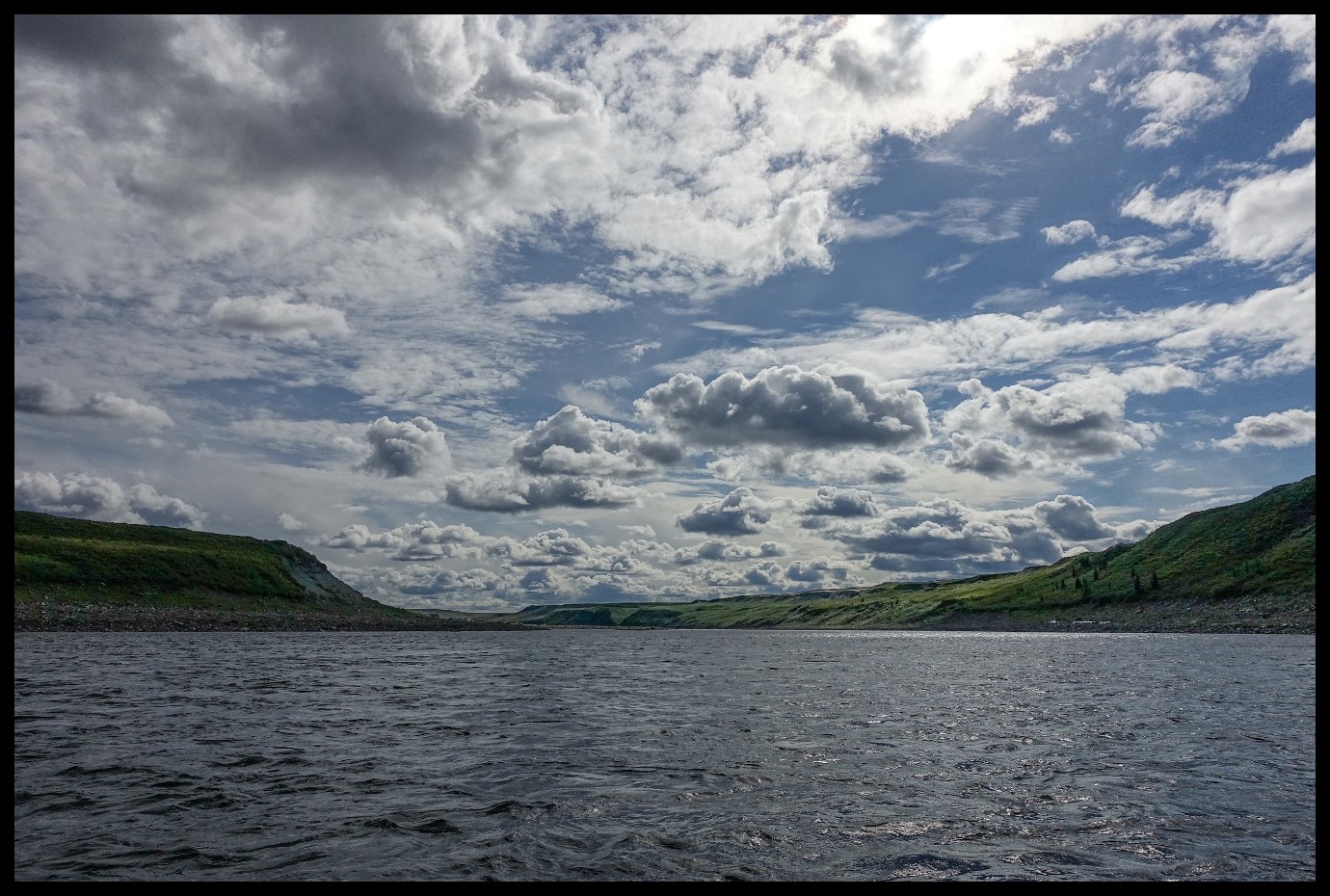
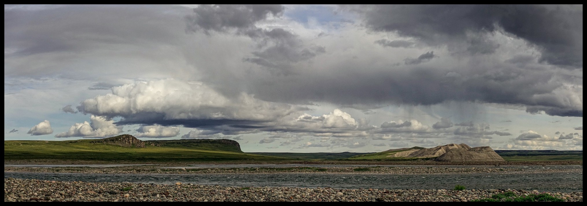
Some may think there are too many pictures of clouds in my collections. But clouds - especially in the featureless Barrenlands are more than often the most pleasing feature to the traveller's eye.
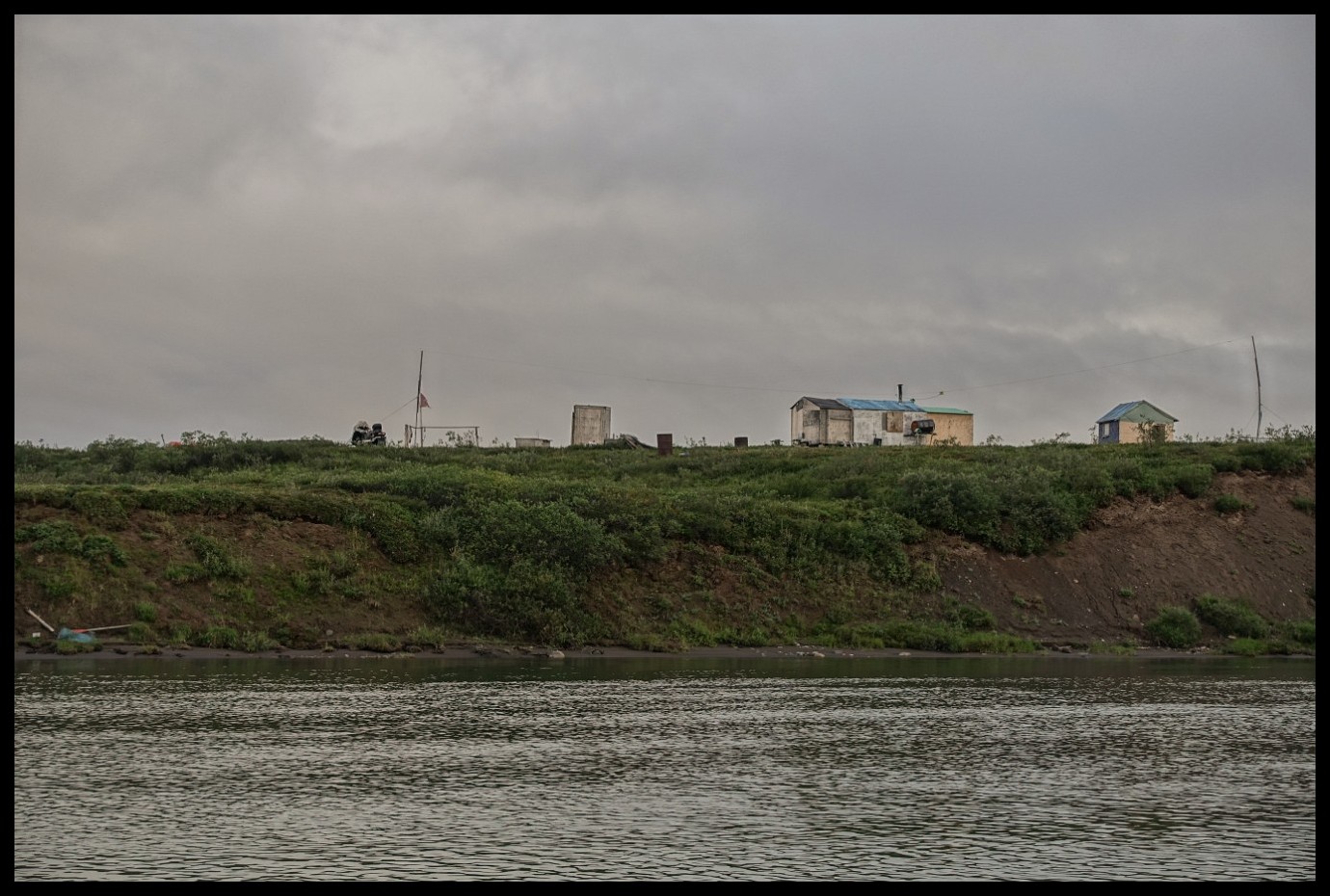
All of a sudden around the corner in the middle of nowhere: a plane from Plummers fishing lodge.
No escape from rules.
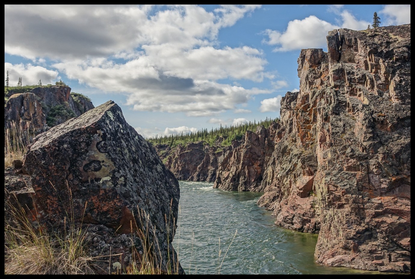
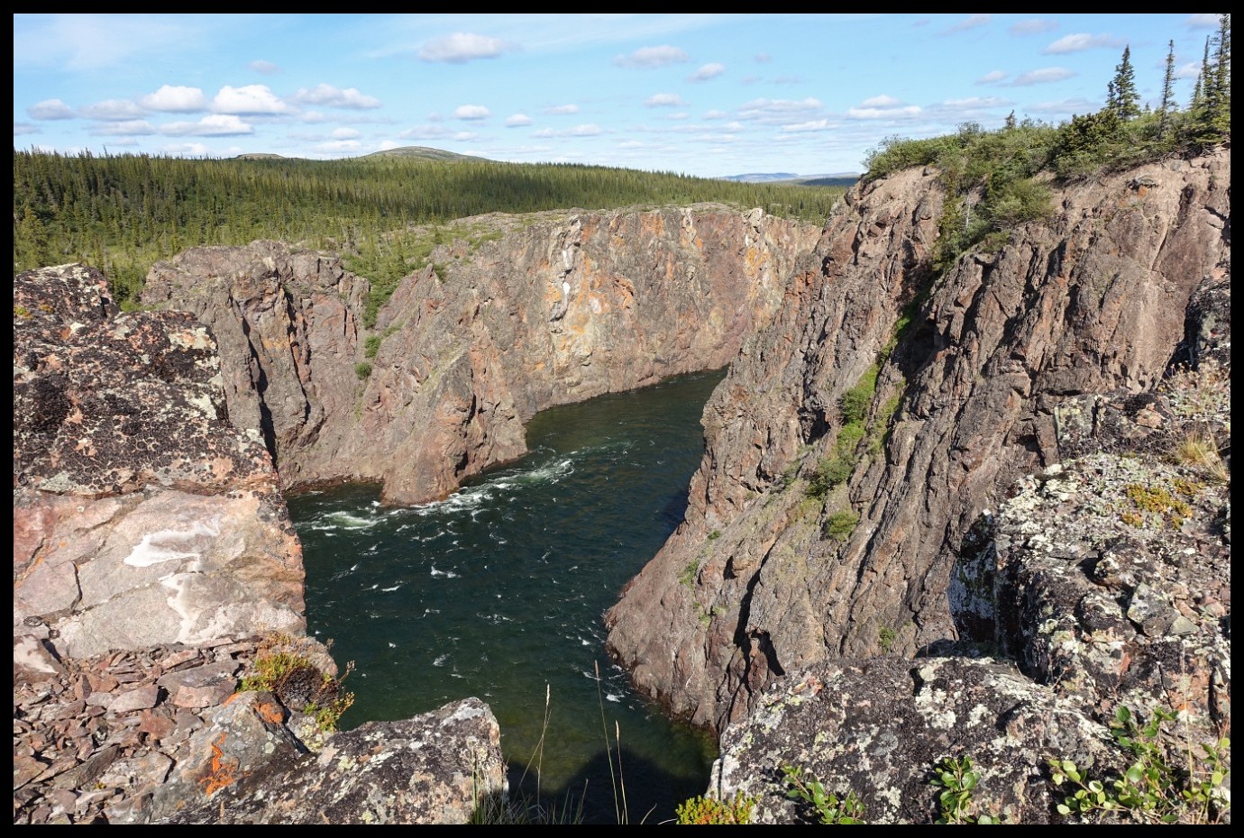
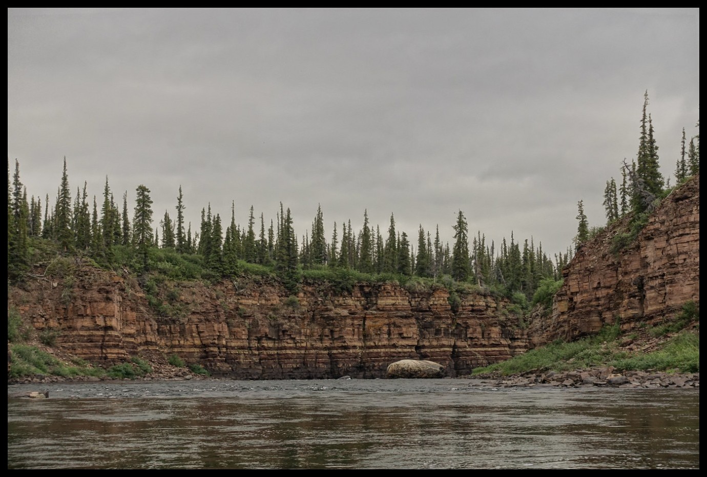
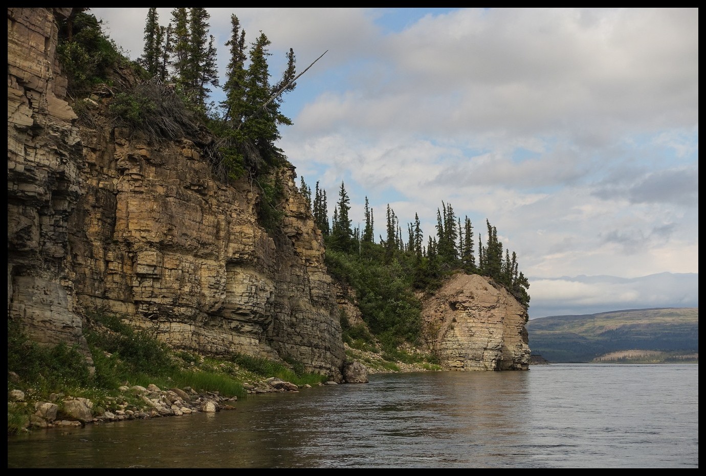
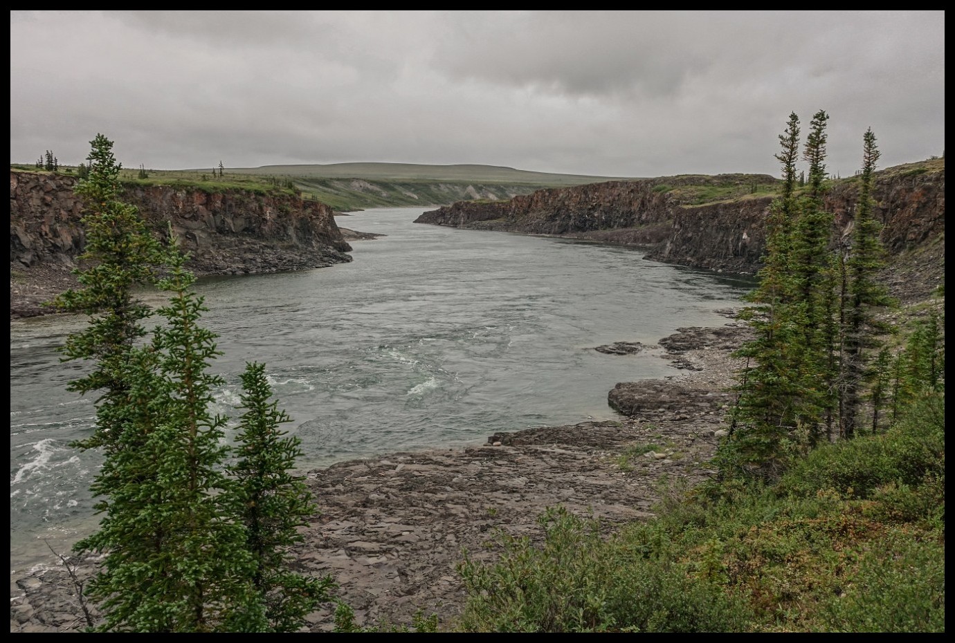
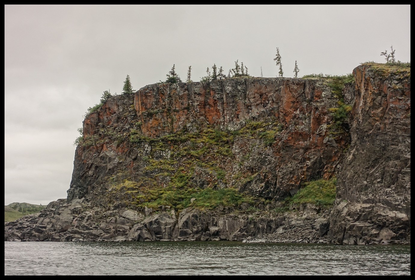
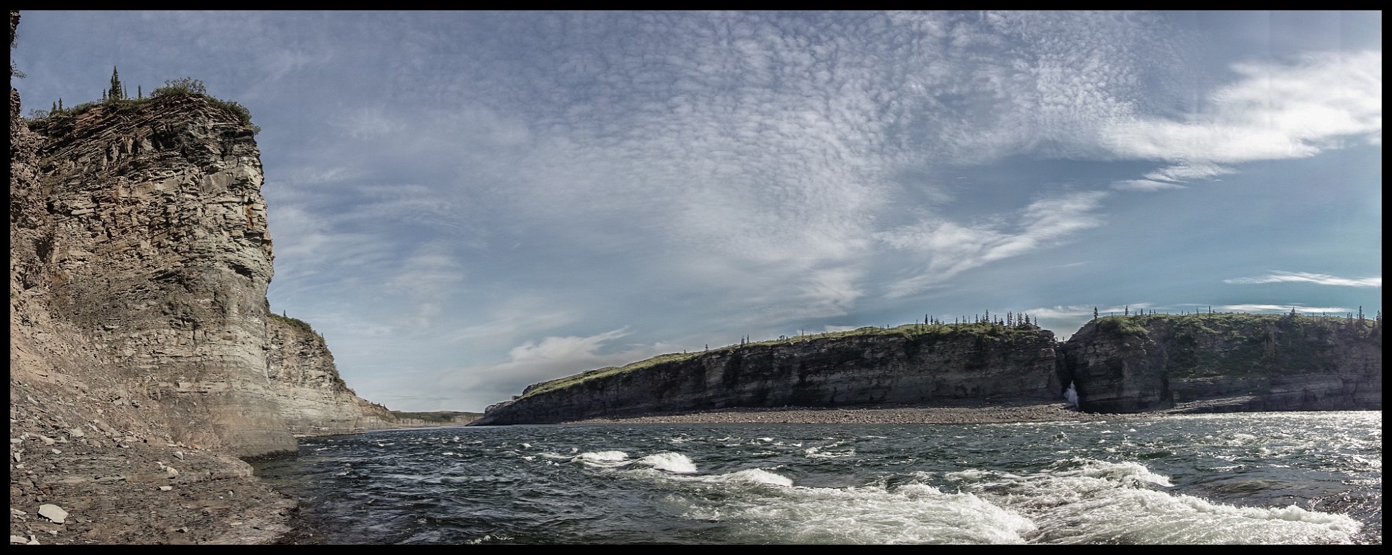
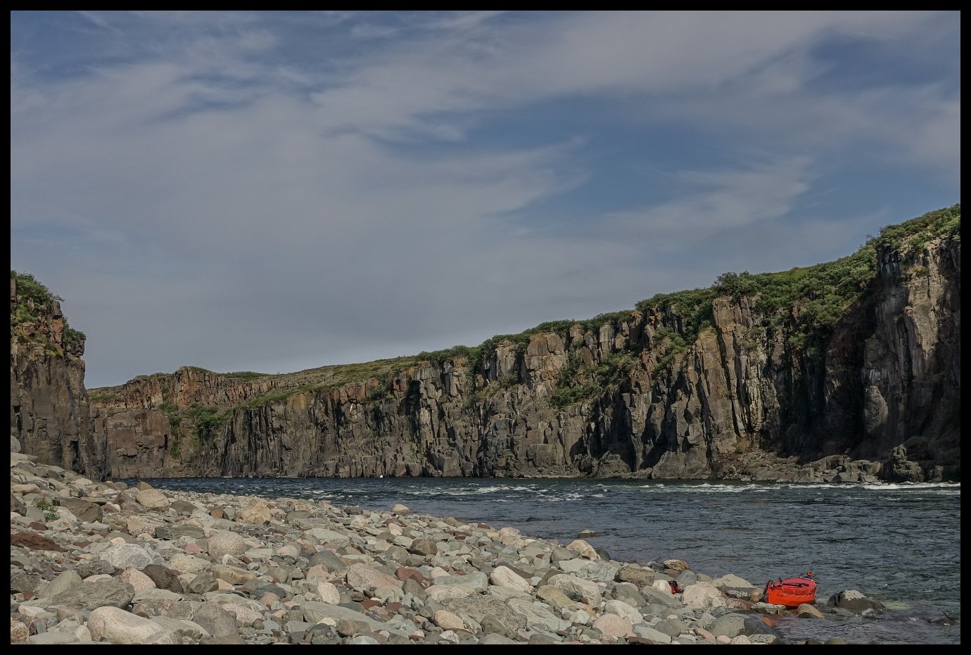
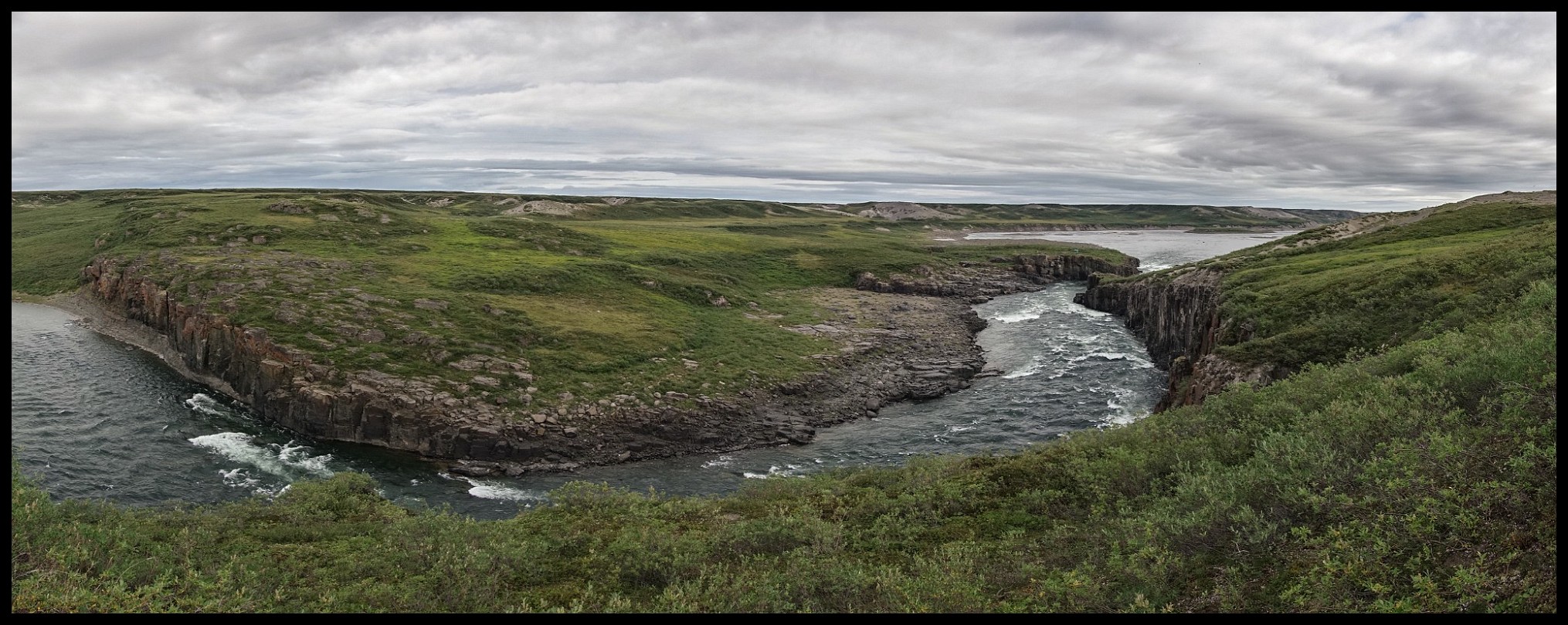
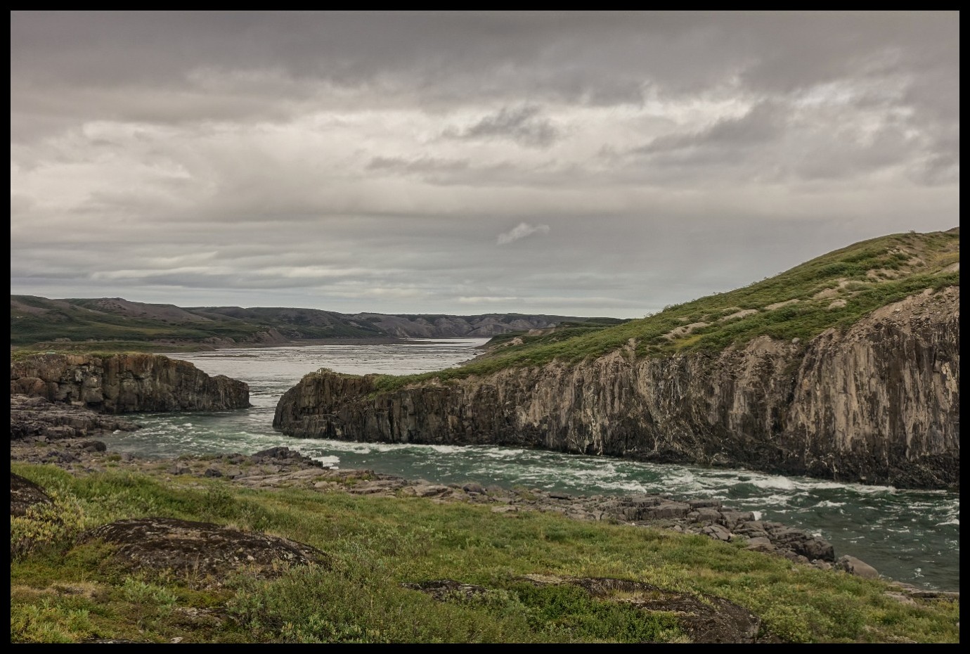
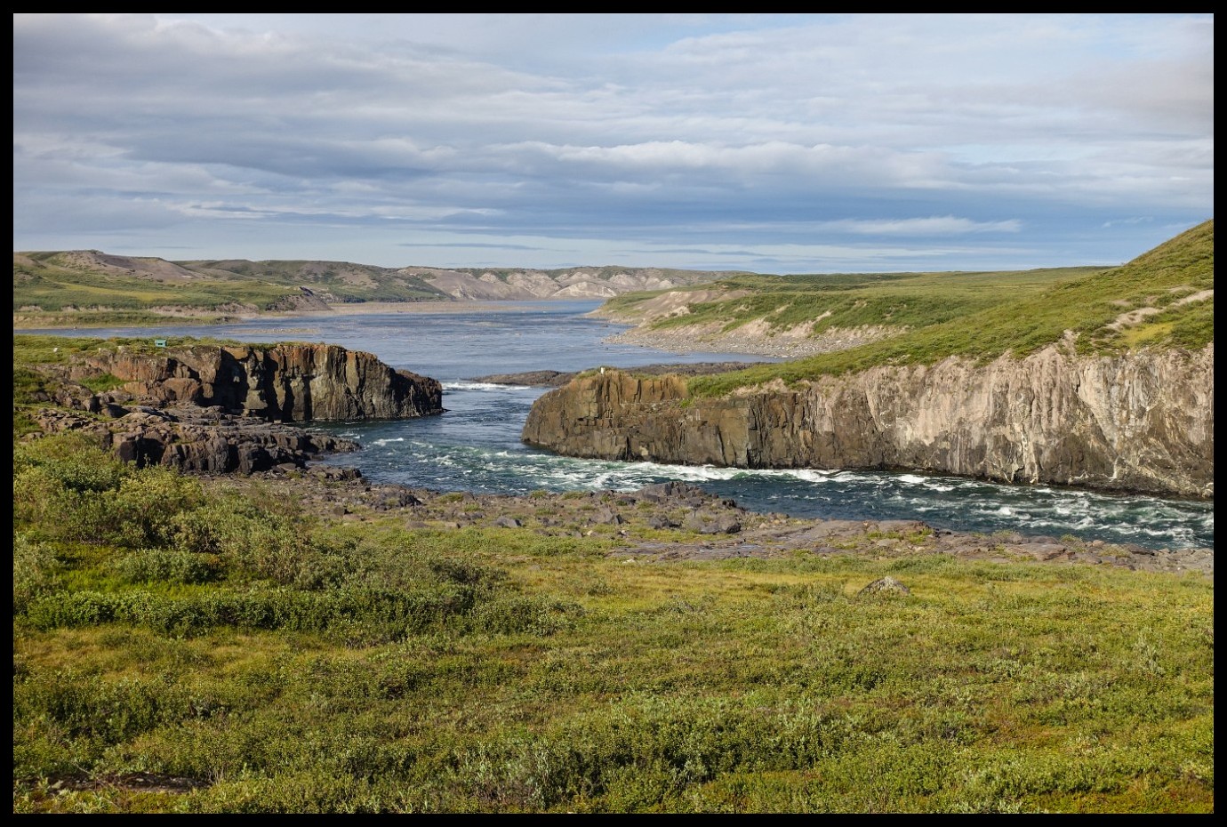
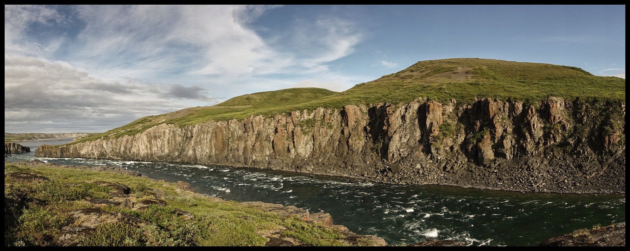
Entrance to Rocky Defile.
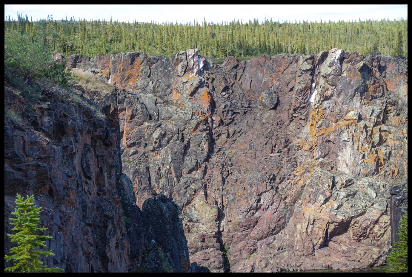
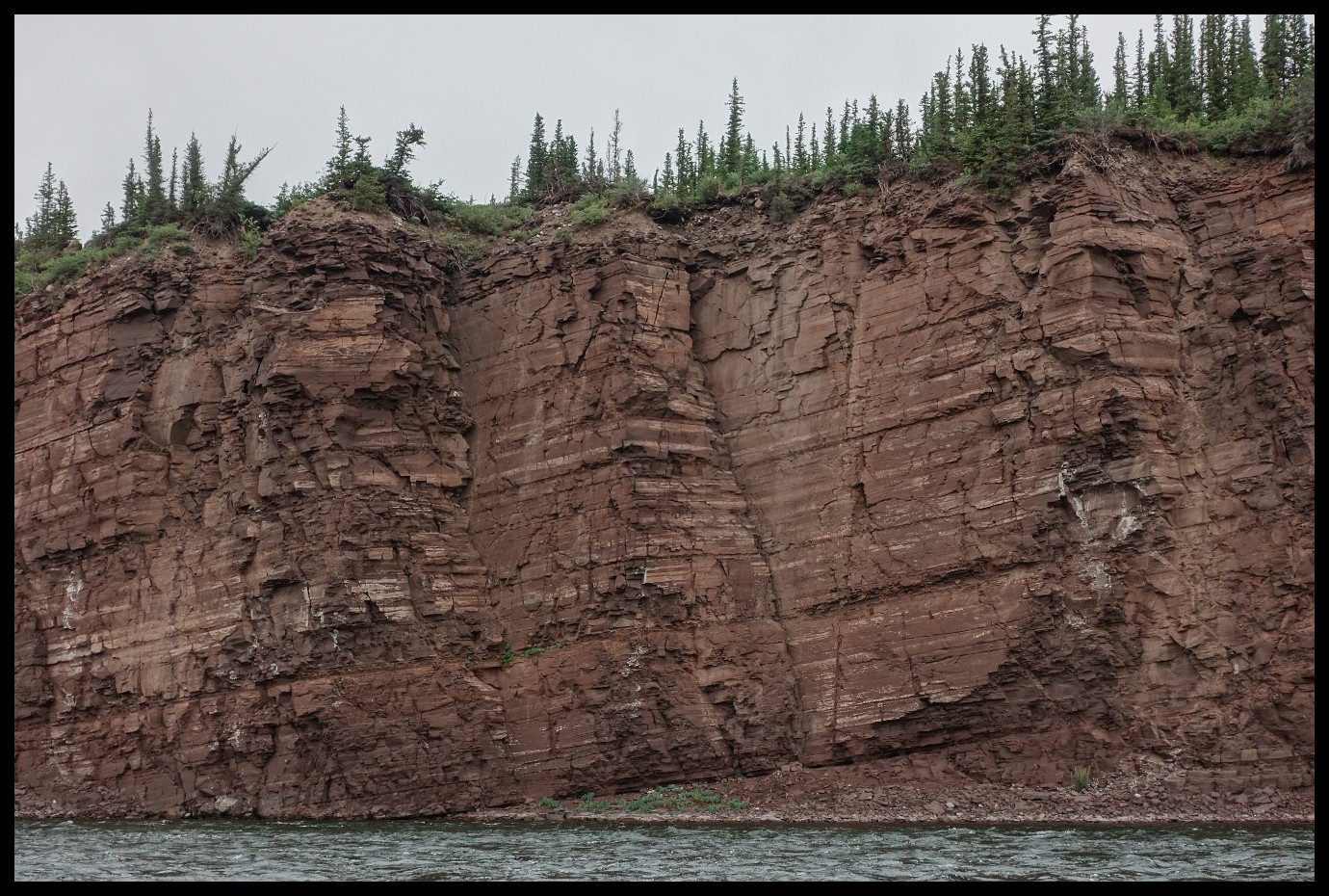
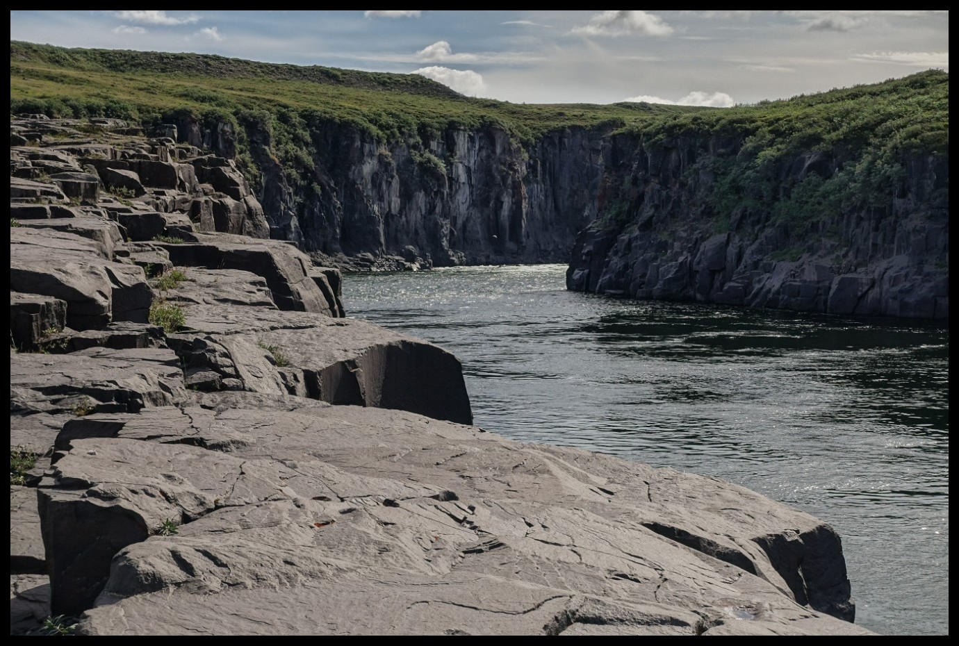
Chasm of Rocky Defile from up the hill.
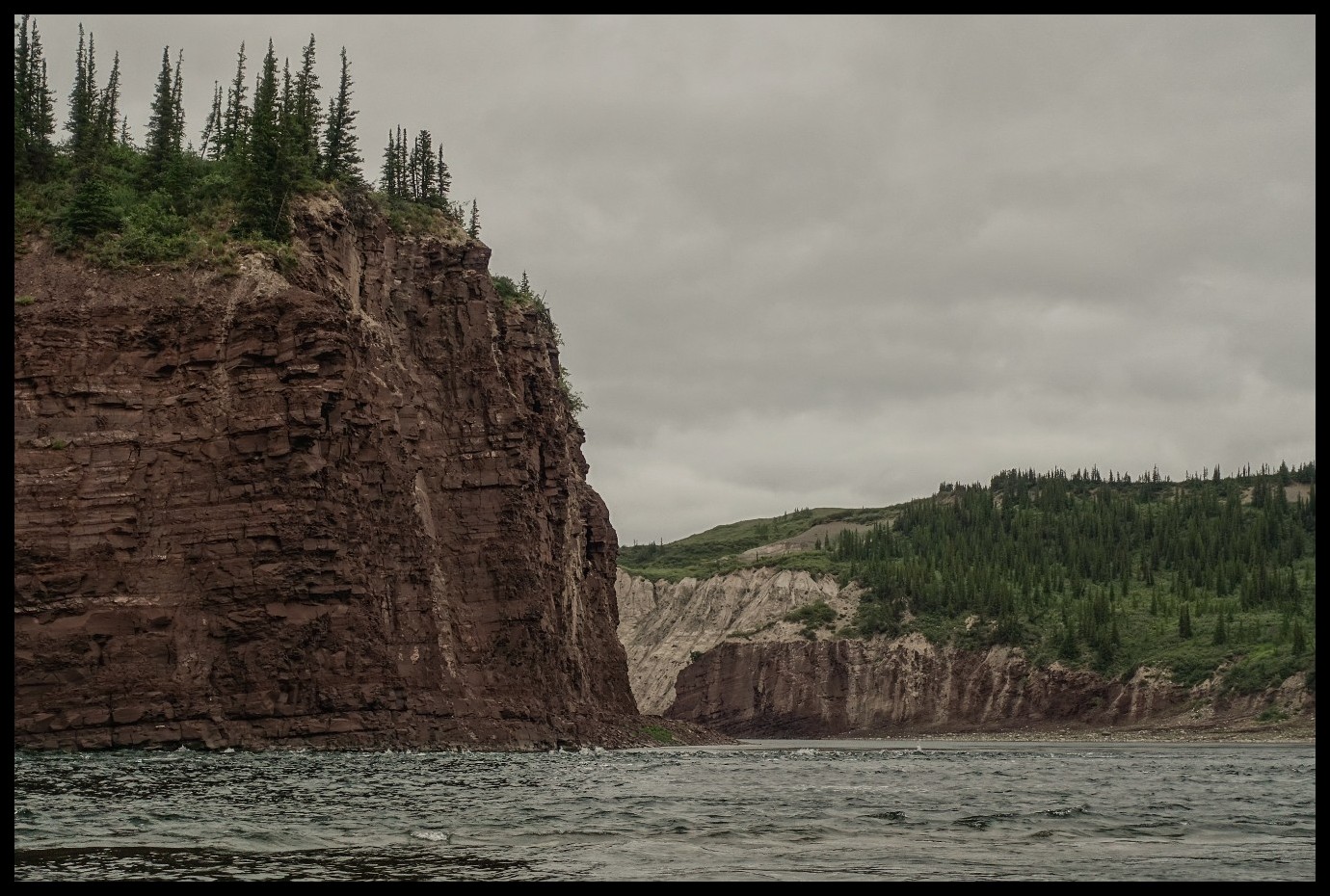
Hinterland around Rocky Defile.
Up the Kendall River.
With many sections where paddling was not possible. Either too fast a current, too shallow, too rocky or all of it combined.
Most of the time even lining was no option. Wading was the only way to go.
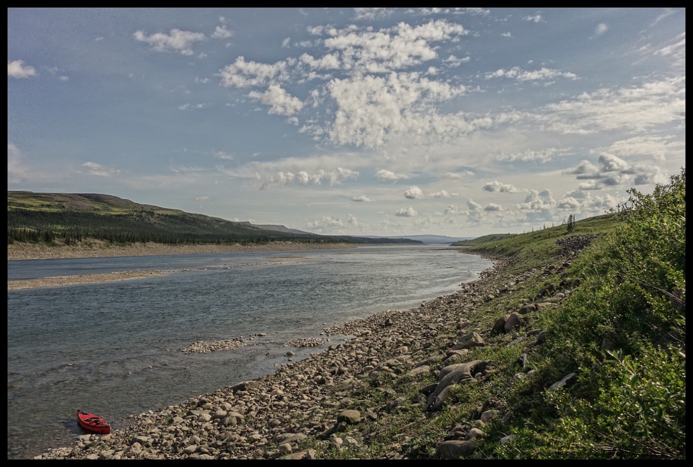
And not an awful lot of nice camp sites like this one here.
One of the few large animals on this trip. He knew I was sitting quite close but was not bothered for some 30 minutes feeding on water plants. More than a 70mm lens was not at hand. But a good set of binoculars.
And even the smaller animals were rather fearless.
Old hands - old style - retracing George M. Douglas' expedition from 1911/12. Bob and Bob on their 54th day. A little pressed with only a few days left for the remaining kilometres to Kugluktuk.
Finally - after 3 days up the creek: calm water. The outflow of the Dismal Lakes into the Kendall River.
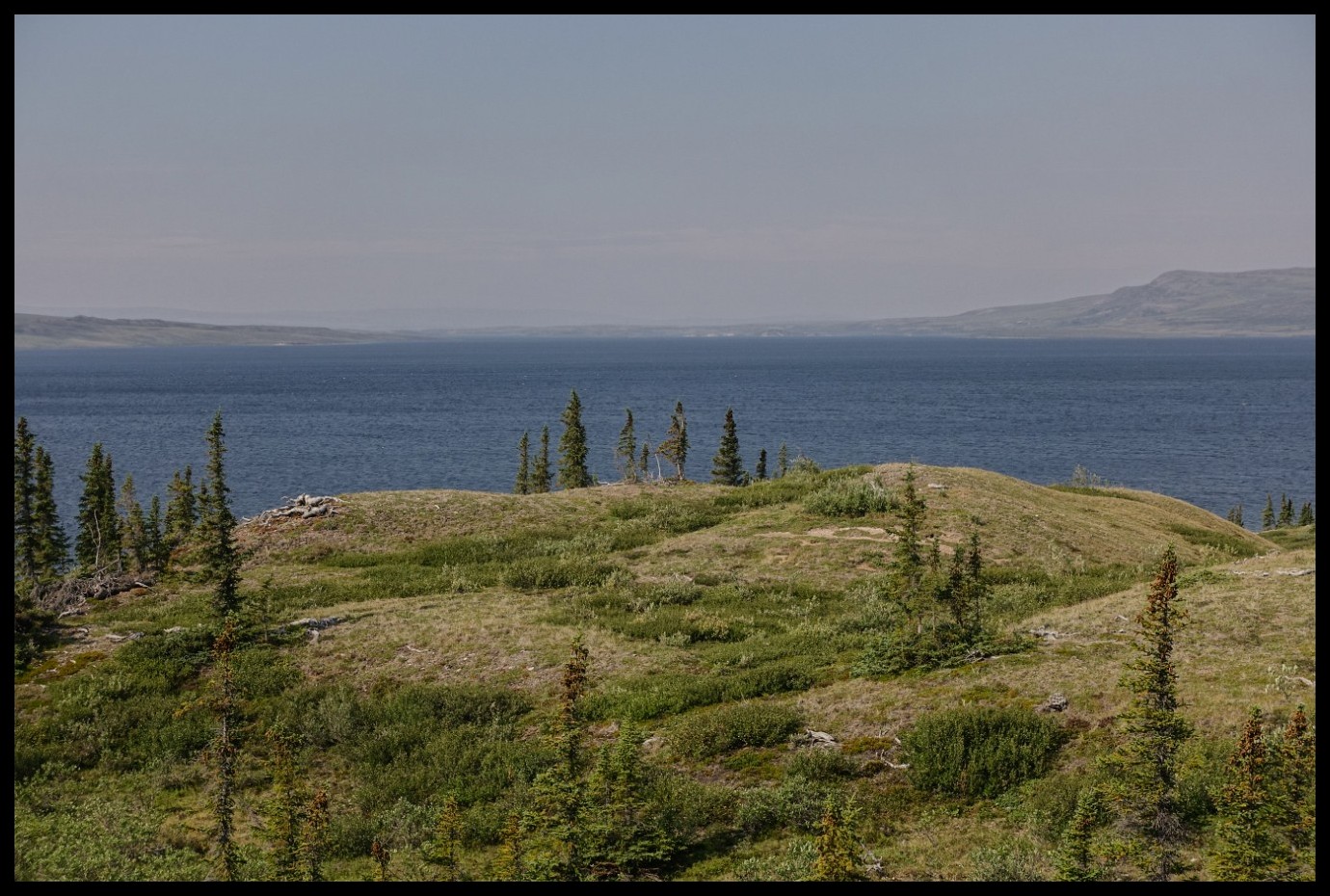
Dismal Lake #1 of 3 with Mt. Teshierpi.
Looking down onto the Dismal Lakes #1 and #2 from Mt. Teshierpi. With the Teshierpi River flowing in from the right. In the far distance on the very right is the outflow into the Kendall River.
Still on Mt. Teshierpi. Looking at the other shore line.
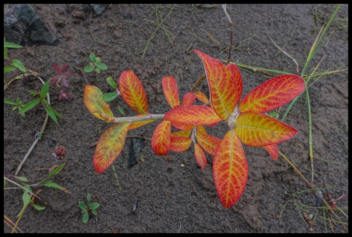
Heralding fall
Glacier Cove from Mt. Teshierpi.
Area above Glacier Cove. Pretty much where George Mellis Douglas spent some time on their 1911/12 expedition.
From landsforlorn.org courtesy of Robert S. Hildebrand
Exposed camp site on the hill. A good idea with bugs around. A bad idea when winds are picking up.
Looking towards the 3rd of the Dismal Lakes with Mt. Teshierpi on the left.
Very nice country. Very pleasant to stroll around
Camp site still on the hill with Mt. Teshierpi in the back
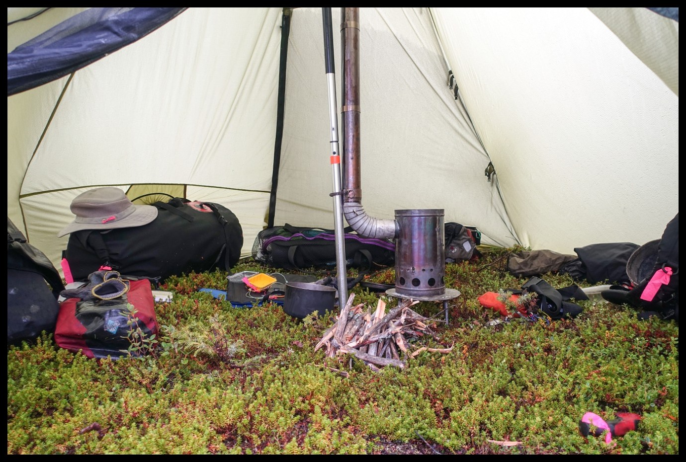
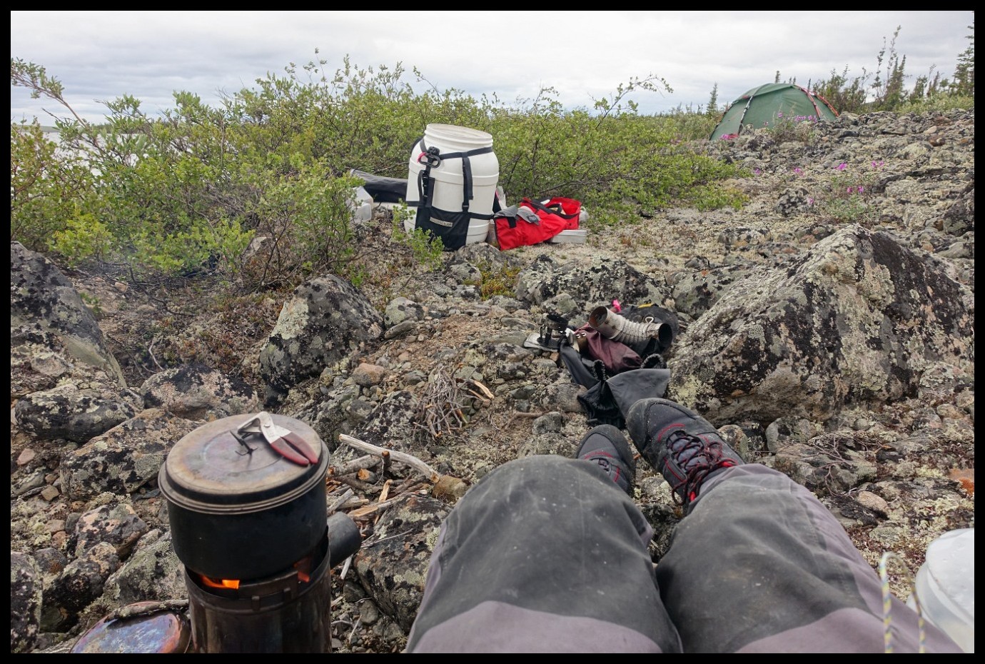
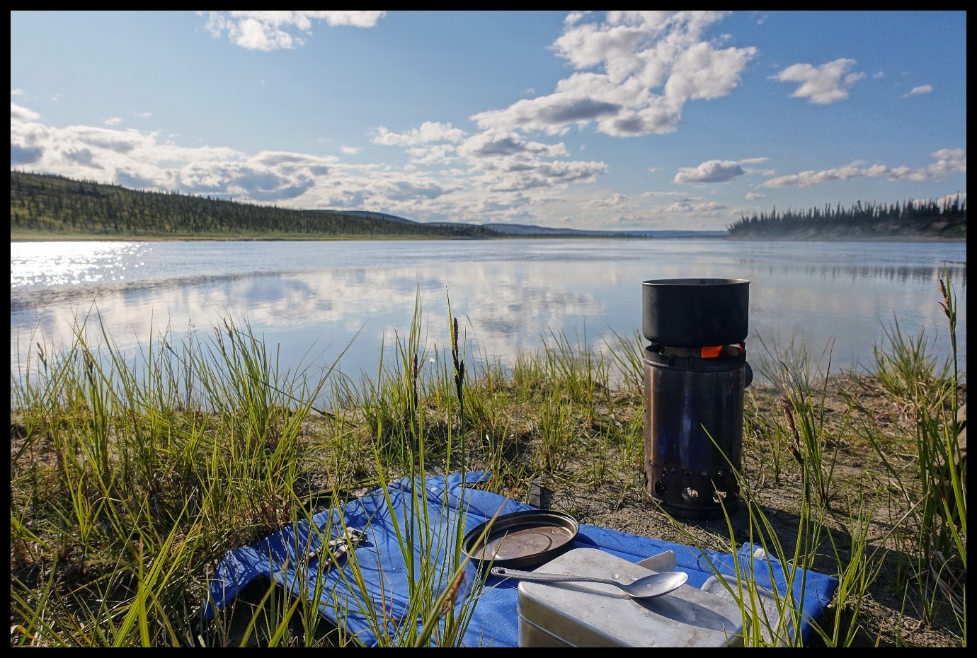
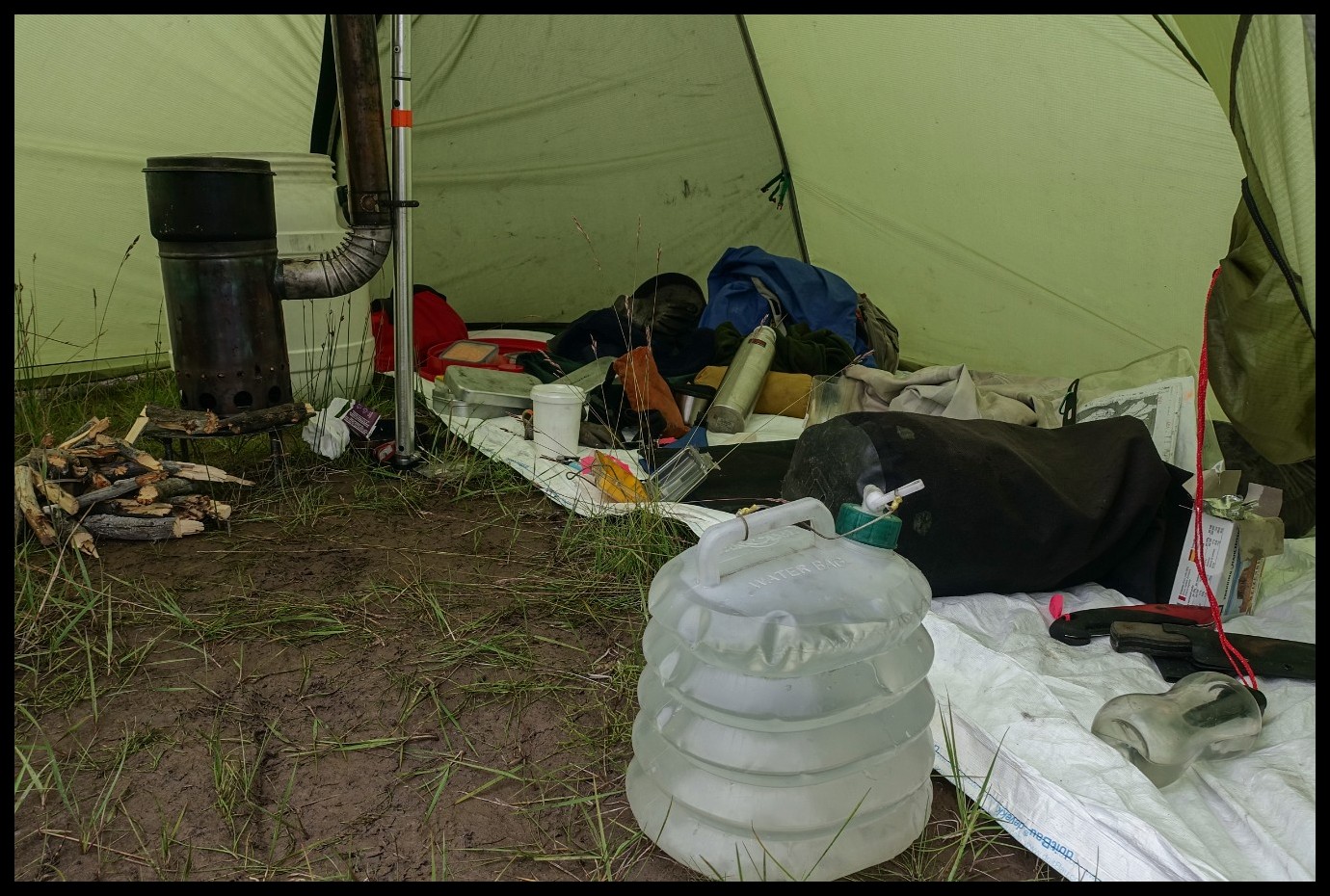
No reason yet to pitch the cooking tent.
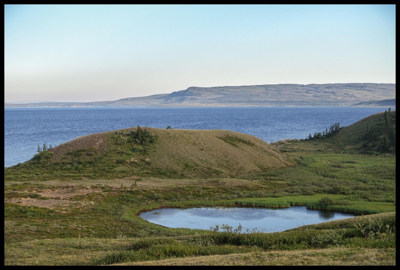
A crater lake?
Glacier Cove proper.
Exploring the Coppermine Mts. to the north.
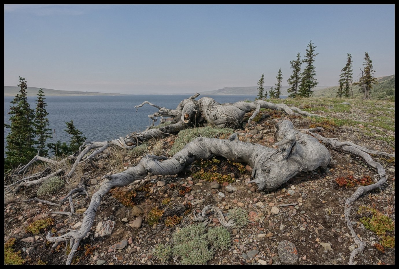
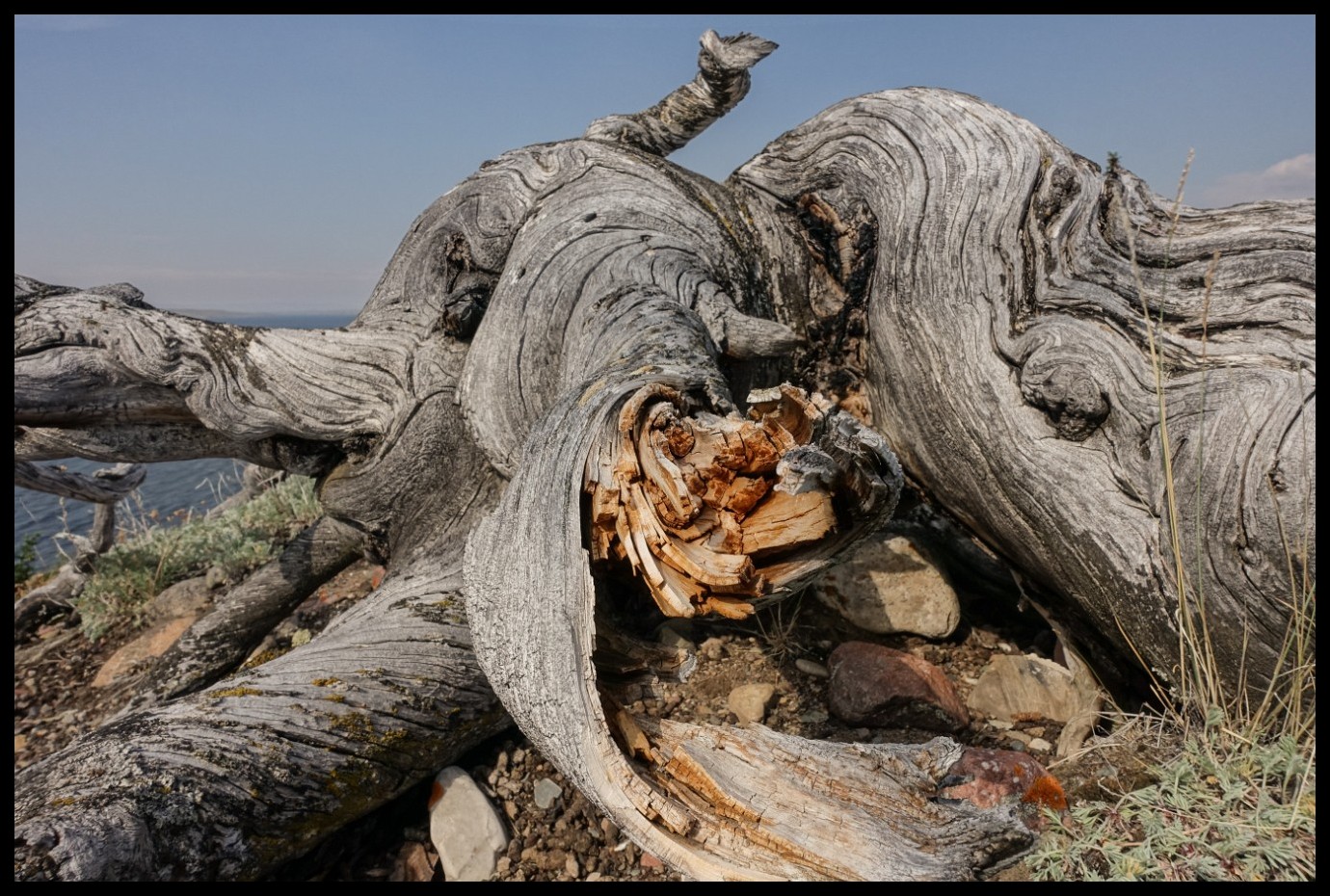
Surprisingly large trees.
Wondering "who" and "when".
Tent rings.
Looking towards the 3rd of the Dismal Lakes.
Still clambering around.
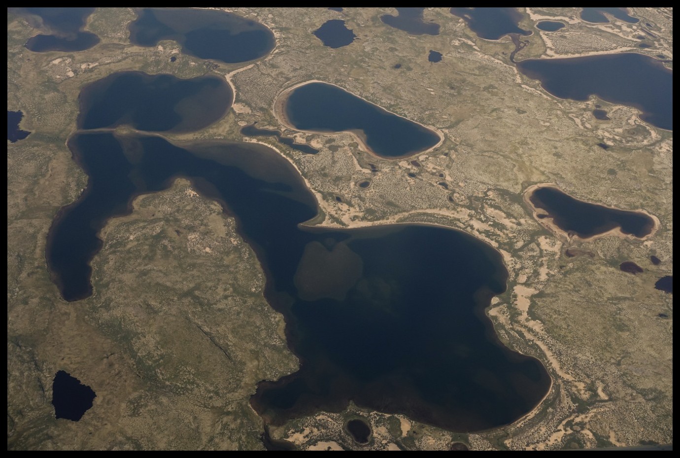
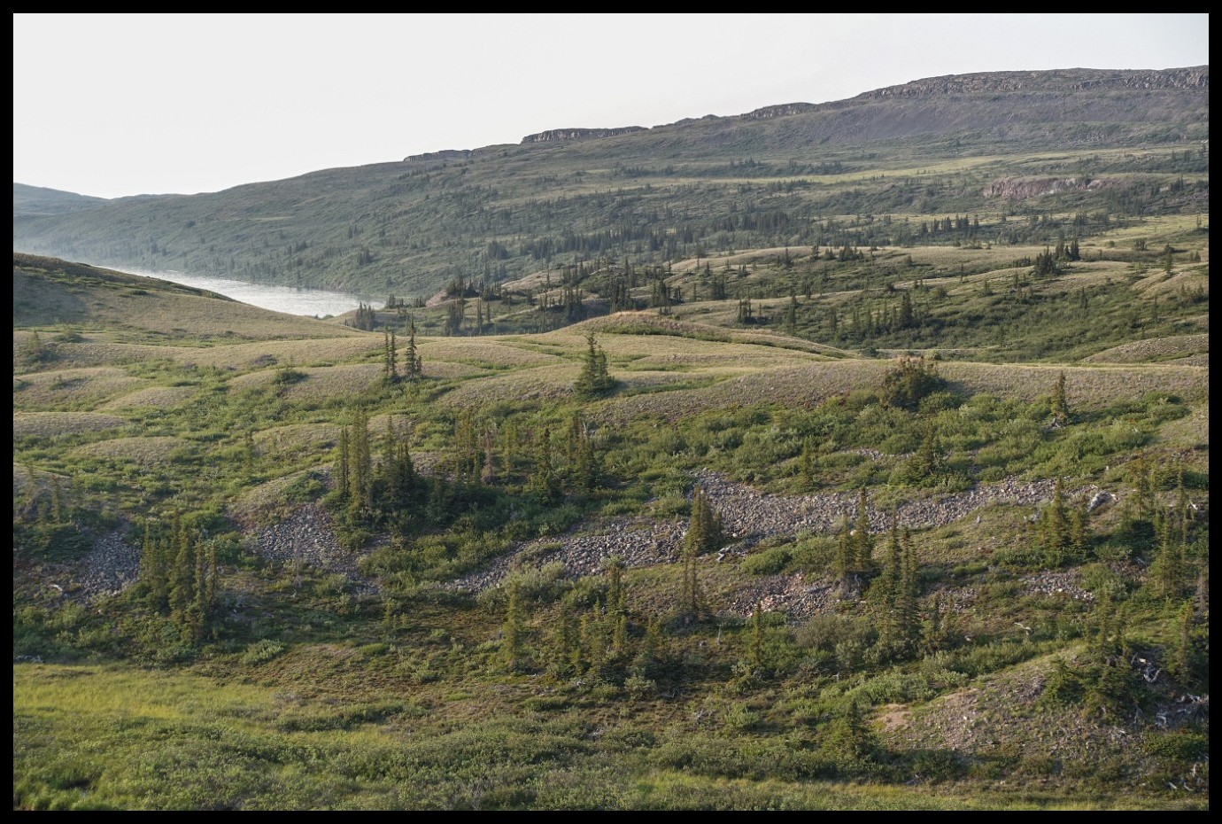
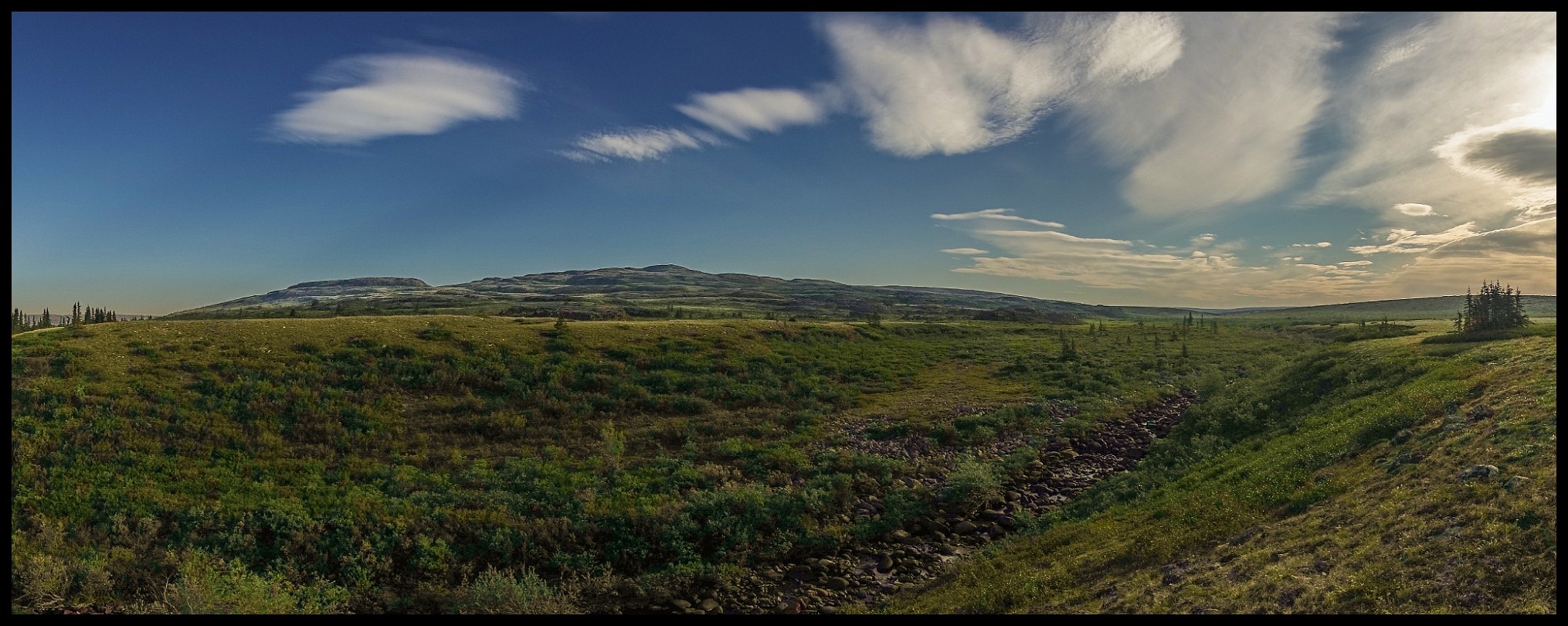
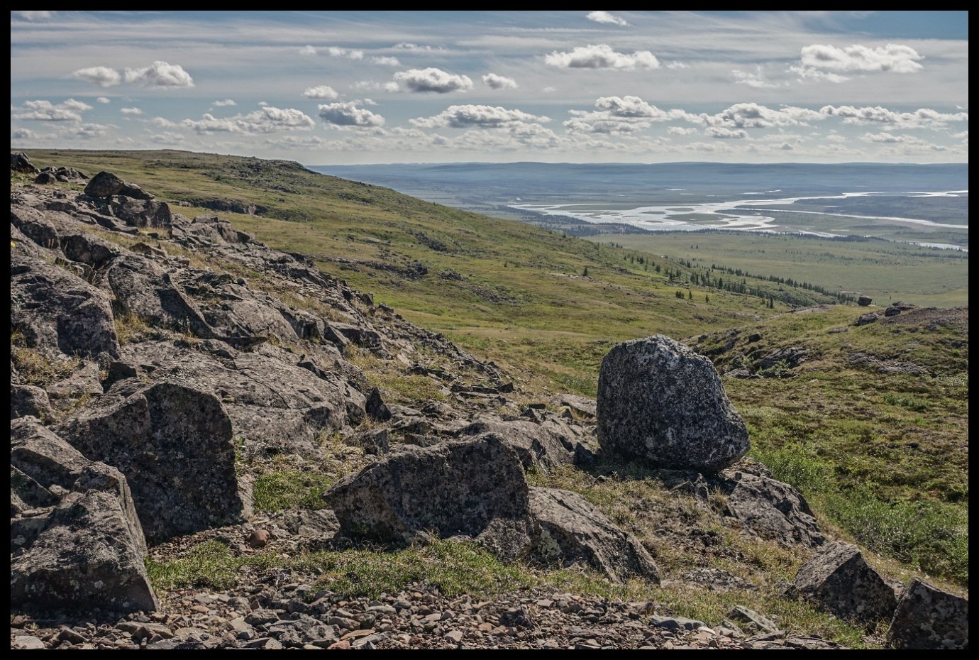
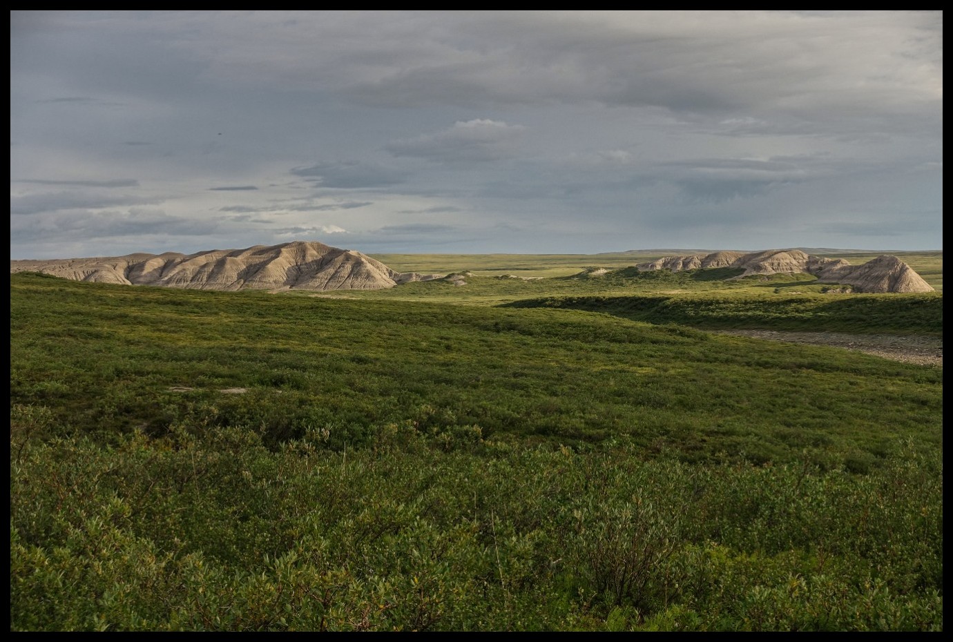
The Barrenlands.
Looking at the junction between 1st and 2nd of the Dismal Lakes.
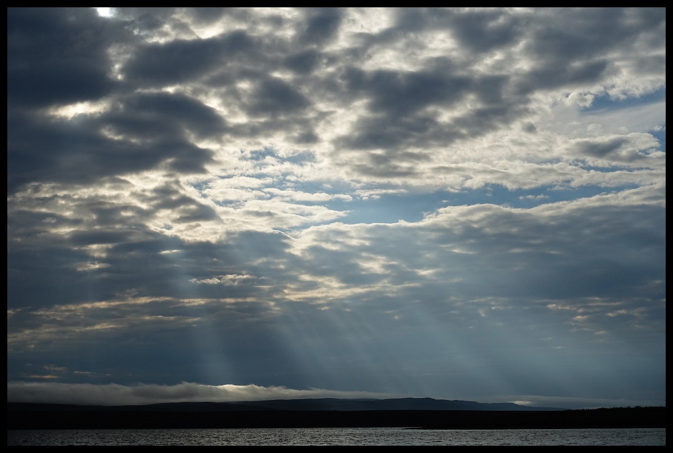
Fabulous Northern skys.
"We spent a few days on the north side of the middle Dismal Lake attempting to investigate the country to the north. "Glacier Cove" we called our camp ; it was right under a steep gravel hill, with hills to protect us on either side. A level space lay between us and the lake, a regular floor of fine hard gravel covered with a carpet of short thick moss, of all beautiful shades of red. It was a snug camp, and among the hills behind us there were lots of dead spruce for fire-wood. This is the only place where spruce occurs on the Dismal Lakes, except at the extreme eastern and western ends." Excerpt from Lands forlorn by George Mellis Douglas.
Windbound and more than happy about my cooking tent.
A warm tent, hot soup and time aplenty.
Now - with the flow: still tricky but way more pleasant.
No volcano ash layer but caribou hair for many miles along the sides of both shores.
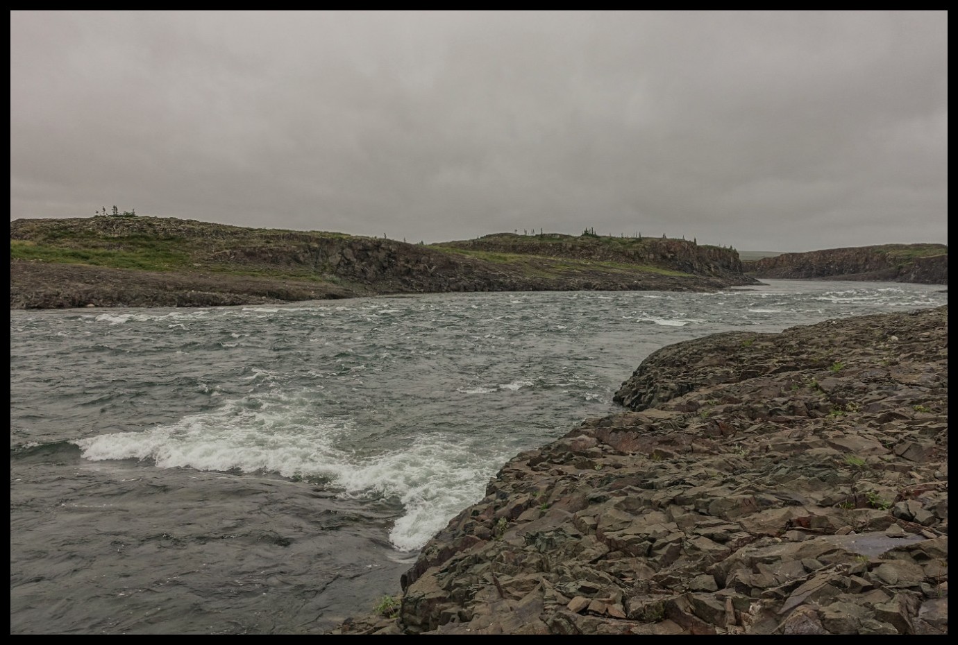
A particularly nasty corner on my way up.
Back to the short canyon section on the Kendall River.
This Arctic Char came in second after I felt that the small grayling should have a companion in the fry pan. Good thing: Black Feather passed by with their group soon after to help on too much fish for one person.
Onwards!
Plenty of food and time are allowing for another hike. This time into the September Mountains.
Looking upstream at the area shortly after leaving the Kendall River.
Eskers are the way to go.
Not the wetlands.
Too many pictures of clouds? Having a look at the cloud appreciation society’s website may change your mind.
One of the few miserable days.
Red lentils with corned beef and dried eggs.
On the esker above Muskox Rapids.
Looking upstream from the very same esker.
Muskox Rapids.
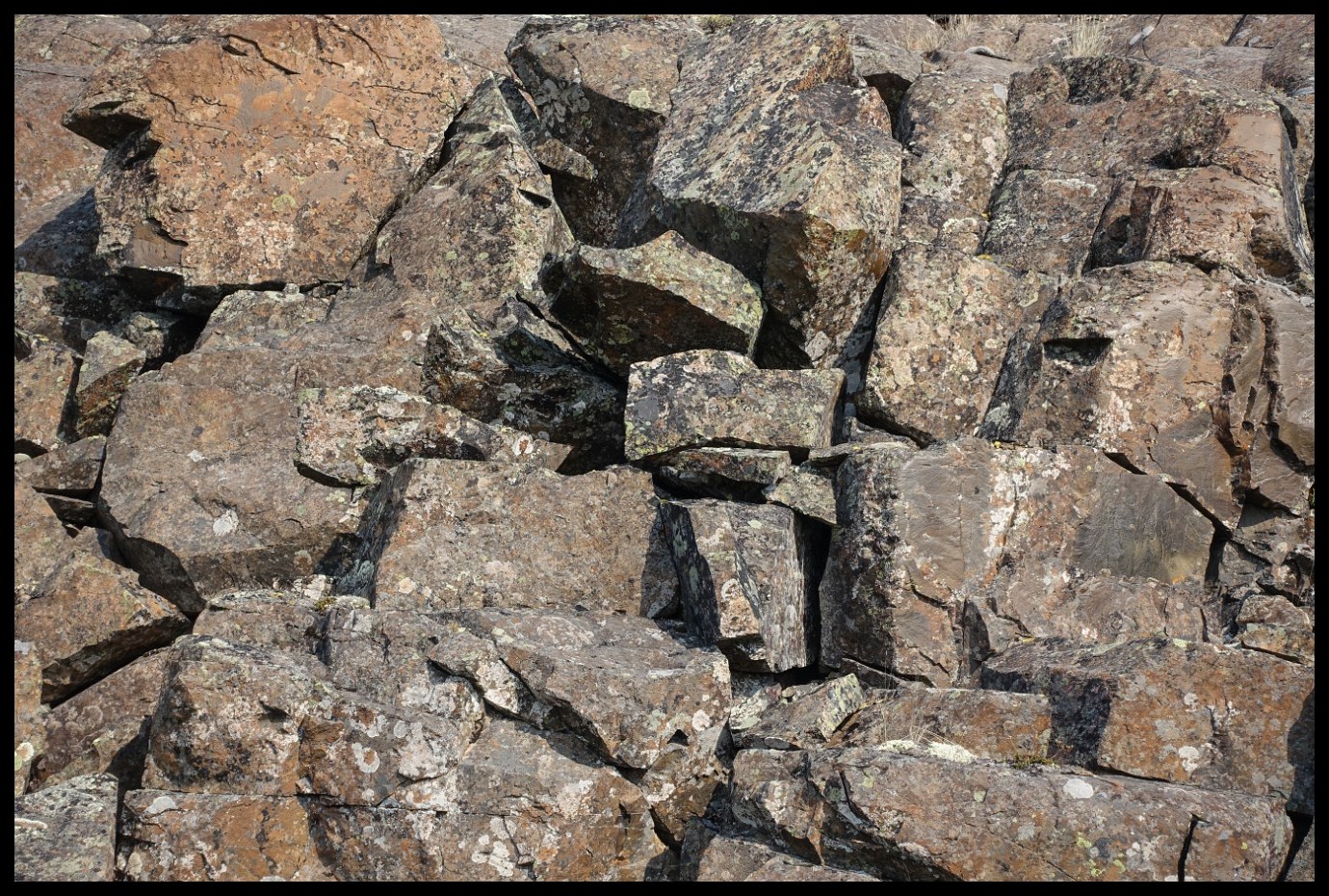
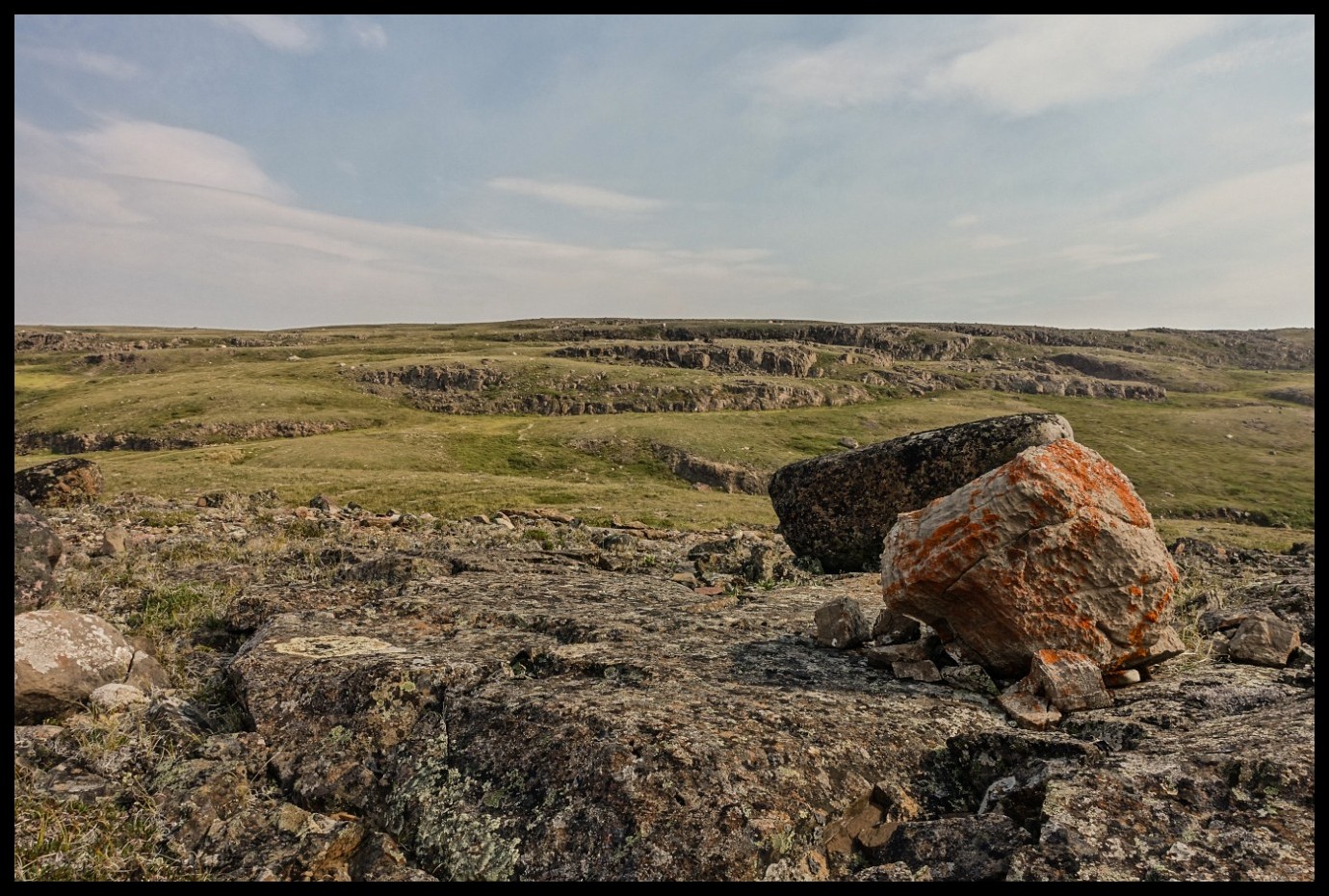
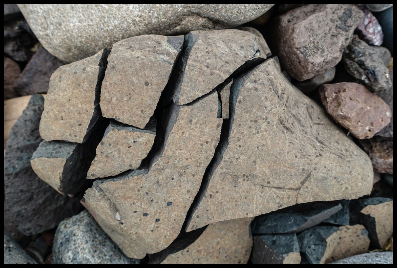
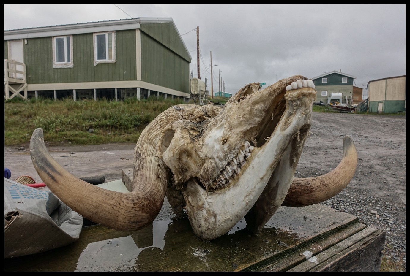
Copper?
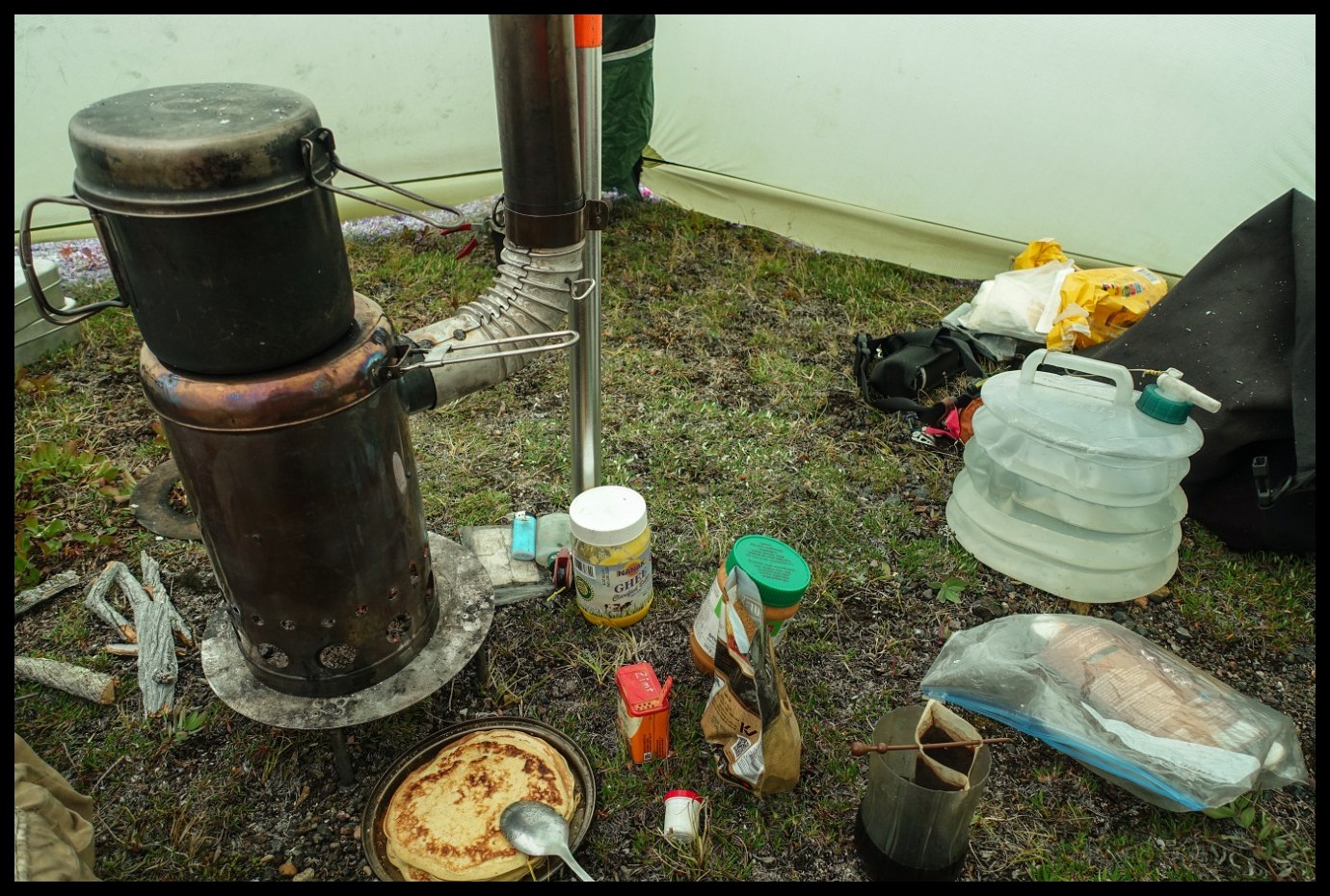
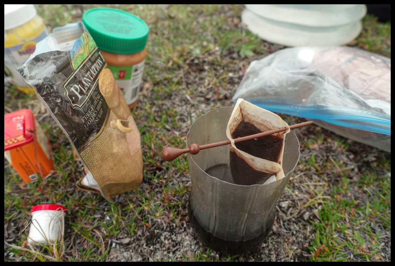
Rice pudding with lots of Ghee.
Lunch for the next day and supper for an immediate feast.
Still Muskox Rapids with faint green tents to the right.
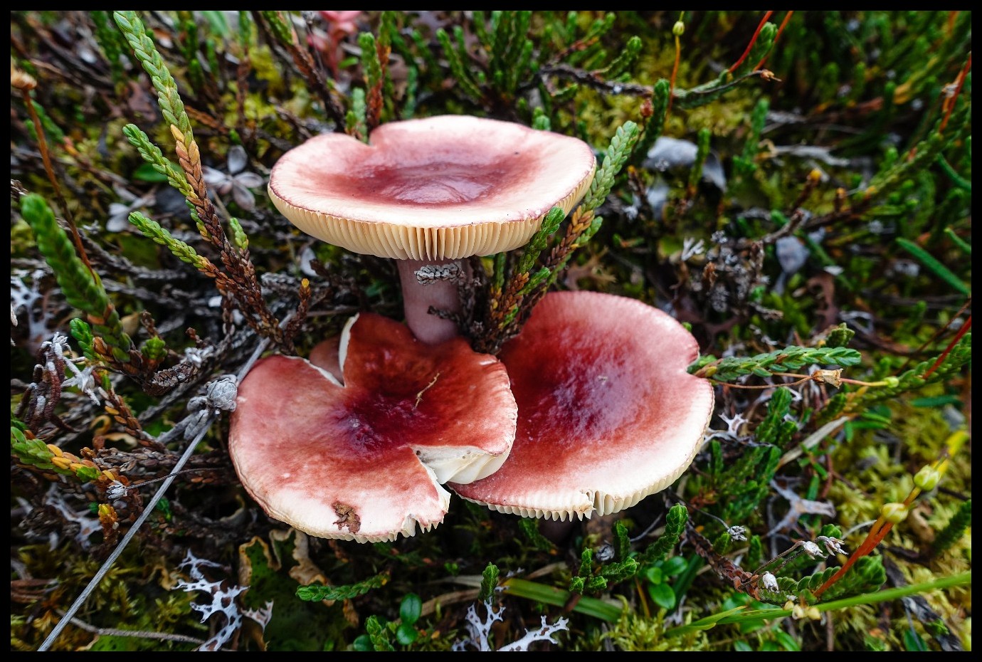
Edible?
Adept or perish.
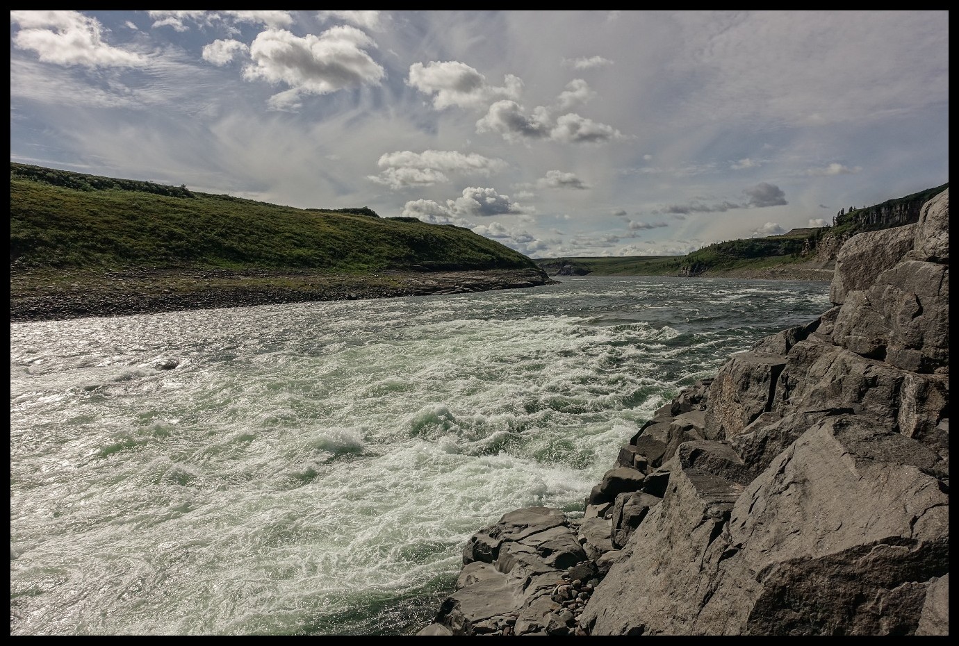
Long stretches of fast flowing water with the occasional boulder to be aware of.
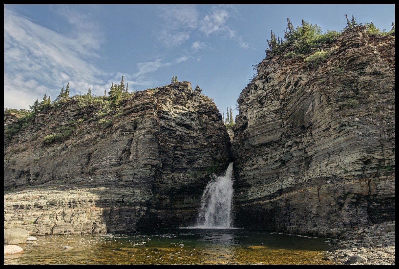
Approaching Escape Rapids
Bloody Falls
Looking back.
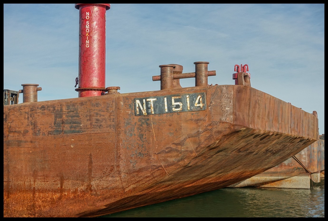
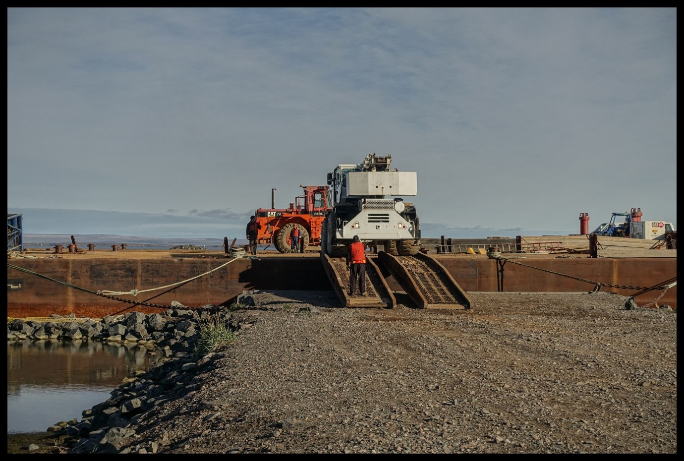
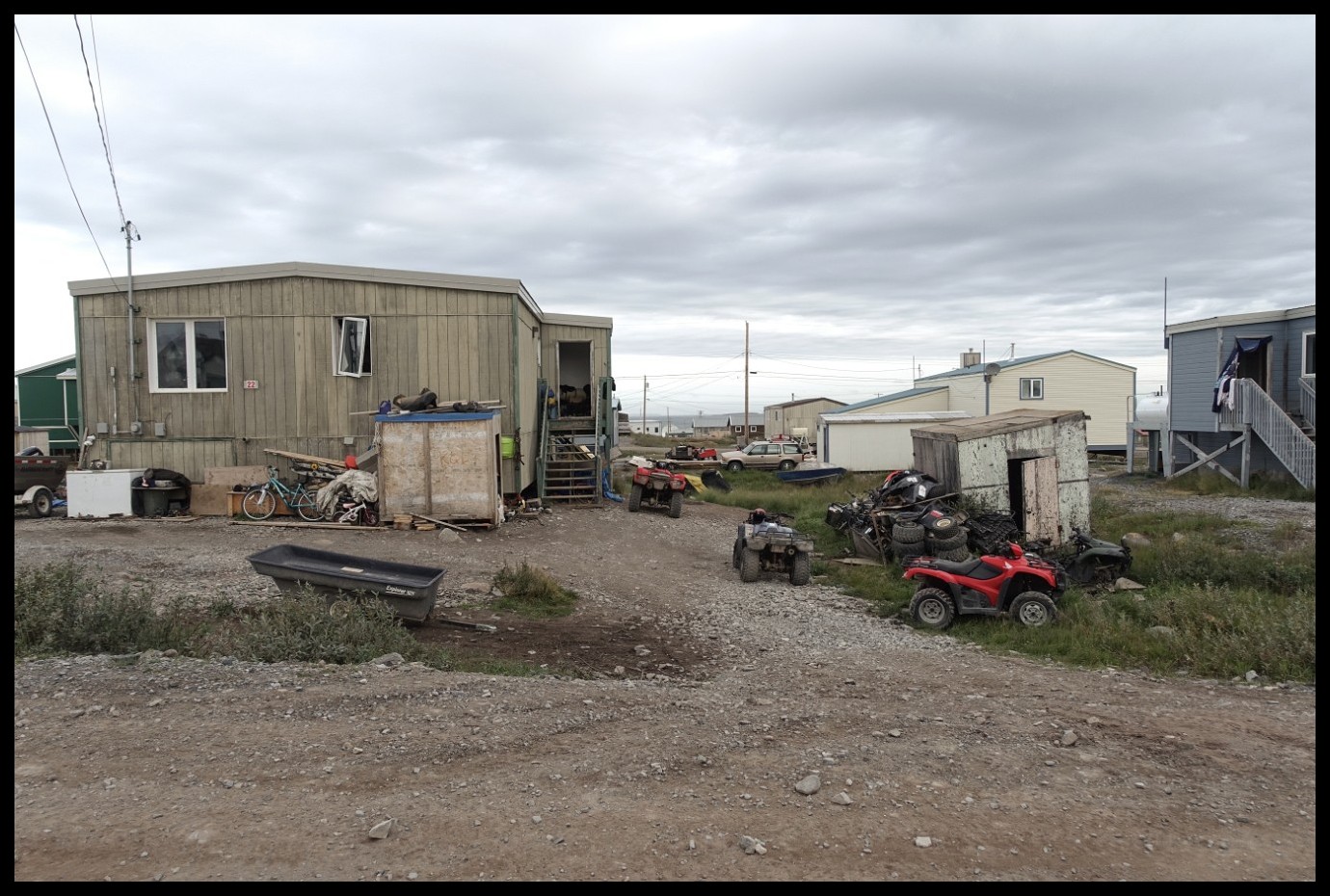
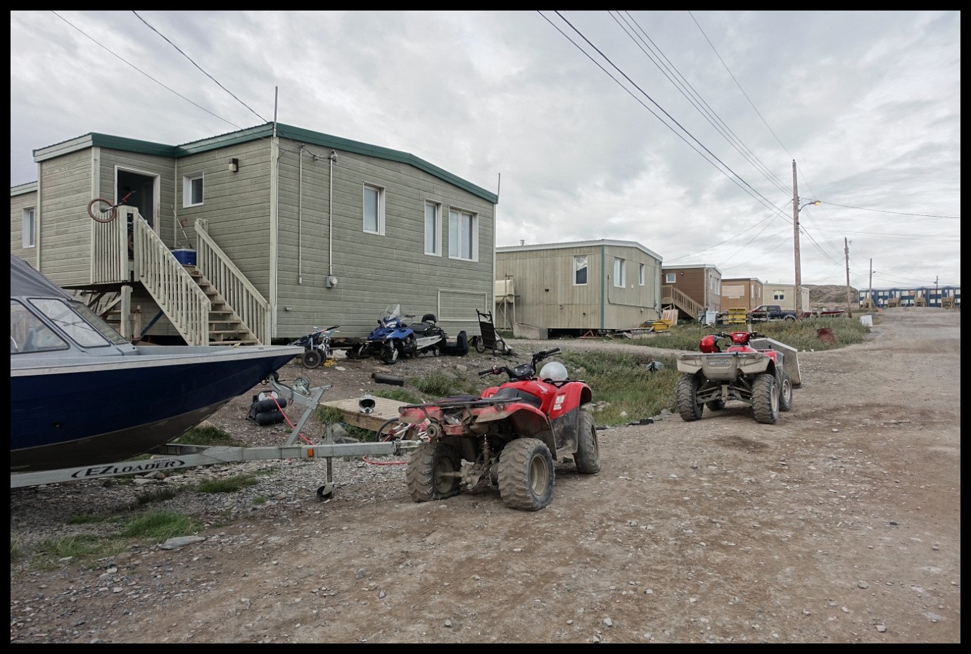
Wilderness 2.0
The face behind the camera.
The final rapid of Bloody Falls (in low water year).
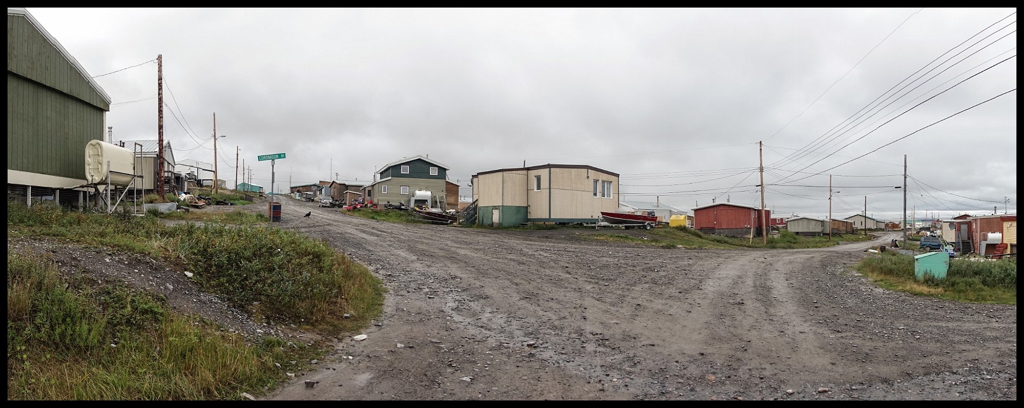
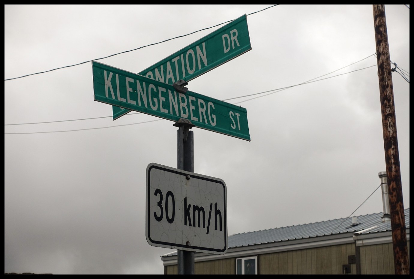
Last camp before the big smoke.
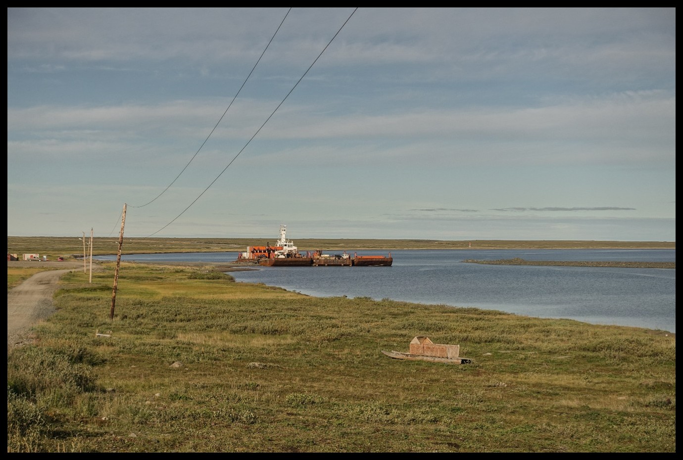
Coronation Gulf ahead.
View out onto Coronation Gulf.
A little later.
The obstruction in-between the waters course (left of centre) is Bloody Falls.


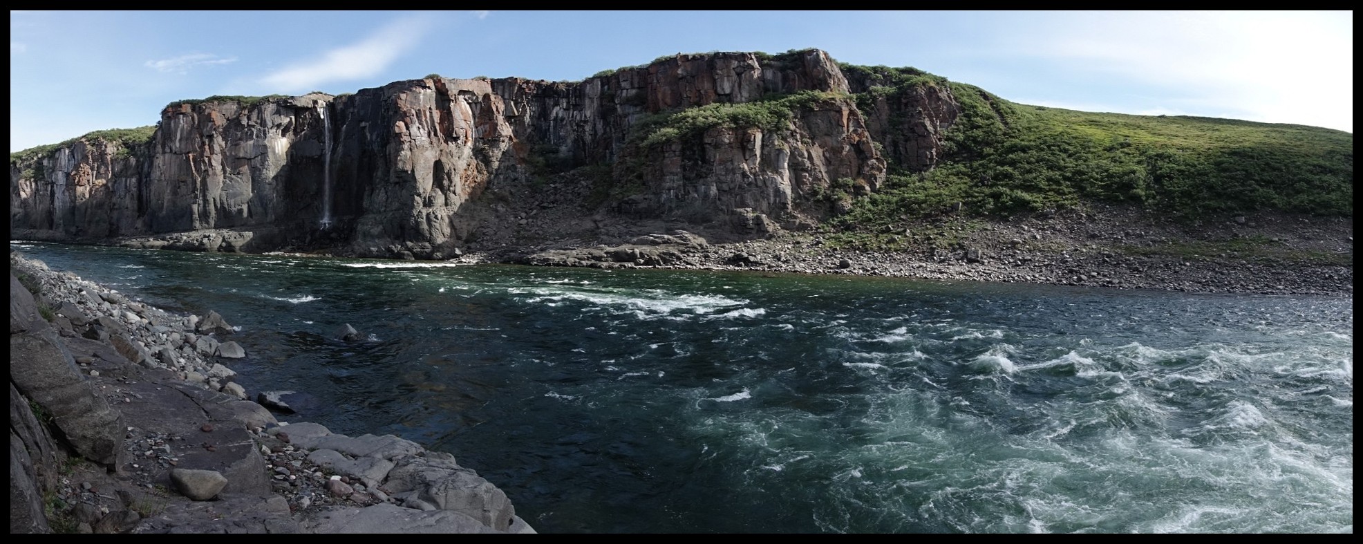


.")


 is Bloody Falls.")